
What is recorded here
Public spring, c.1850, comprising section of random rubble stone wall on a U-shaped plan having lime mortar, cut-stone spout, and cut-granite basin on rubble stone plinth. Road fronted forming part of boundary wall to Lismore Castle estate with sections of stone cobbling.
A picturesque feature of the townscape, constructed in a traditional manner using unrefined, locally-sourced rubble stone, and of particular importance for its historic role as one of the major sources of clean drinking water in the locality in the period before main water systems.
This does not grant access. Most recorded buildings are privately owned; view them only from public ground unless the owner allows entry.
Places near here
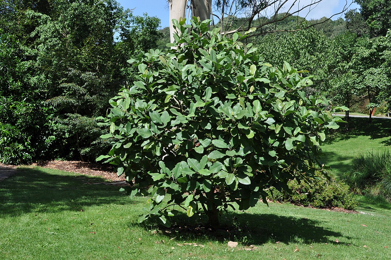 Delavay's magnoliaDelavay's magnolia · 52 yd
 The Deaneryrectory/glebe/vicarage/curate's house · 129 yd
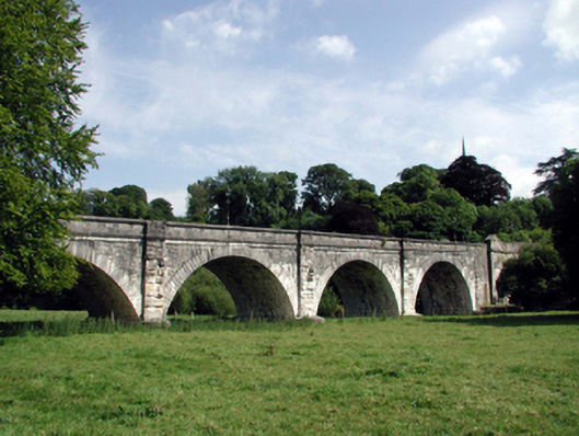 Lismore Bridgebridge · 145 yd
 CathedralCathedral · 147 yd
 European YewEuropean Yew · 165 yd
 St. Carthaghs WellHoly well · 188 yd
 Lady Louisa's WalkWalking route · 261 yd
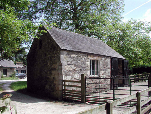 Lismore CastleOfficially recorded historic building · 295 yd
 Ambrose Power MemorialMemorial · 368 yd
 Cottage IslandIslet · 507 yd
 LismoreMemorial · 1127 yd
 Ballysaggartmore TowersHeritage attraction · 1.8 mi
Other information
Photo: N Chadwick · CC BY-SA 2.0