What is recorded here
Marked on the 1841-42 and 1939 OS maps as 'Garrison (in ruins)', it appears as a rectangular enclosure with a double bank on the W to NW side. Today the enclosure has been disfigured by field fences and the E and SSE banks have been destroyed due to their construction. The firing or outer bank of the enclosure runs in…
Read the whole record
From the National Monuments Service (Archaeological Survey of Ireland) record KE010-021
Places near here
Photo credits
- Maker not stated on source page, www.irishmirror.ie
- Maker not stated on source page, tr.pinterest.com
- Maker not stated on source page, www.flickr.com
- Maker not stated on source page, uk.pinterest.com
- National Inventory of Architectural Heritage
- Maker not stated on source page, www.dreamstime.com
- Maker not stated on source page, en.wikipedia.org
- Kmcnamee, Wikimedia Commons · CC BY-SA 4.0
- Maker not stated on source page, www.pinterest.com
- Unknown author Unknown author, Wikimedia Commons · Public domain
 Fairy fort / earthen ringfort in DrombegFairy fort / earthen ringfort · 169 yd
Explorer Tom Fairy fort / earthen ringfort in Drombeg is friends with a sheep that thinks it’s the king. It sits in poor pasture…
 Fairy fort / earthen ringfort in BedfordFairy fort / earthen ringfort · 500 yd
Explorer Tom Fairy fort / earthen ringfort in Bedford has had more names than I’ve had jobs since turning twenty-five. The river got…
 Fairy fort / earthen ringfort in Shrone EastFairy fort / earthen ringfort · 836 yd
Explorer Tom Fairy fort / earthen ringfort in Shrone East thinks Dublin tourists smell like overpriced coffee and bad decisions. The…
 Mapped cemeteryCemetery · 840 yd
Explorer Tom Mapped cemetery in County Kerry would write a formal complaint to the council about the lack of proper signage and the…
 Fairy fort / earthen ringfort in CoolkeraghFairy fort / earthen ringfort · 915 yd
Explorer Tom The family tree of this overgrown rath in Coolkeragh is mostly made up by locals. It’s got a fosse that’s seen better…
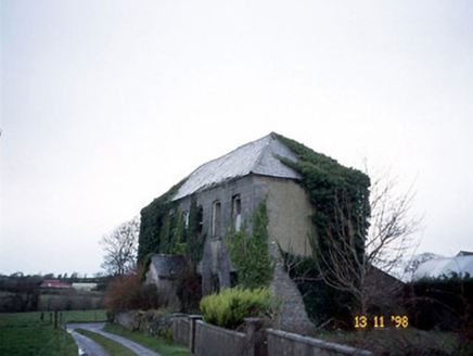 Bedford HouseHouse · 1158 yd
Explorer Tom Bedford House would complain to the council about the lean-to extension ruining its Georgian vibe. It’s derelict but…
 Fairy fort / earthen ringfort in TullamoreFairy fort / earthen ringfort · 1446 yd
Explorer Tom Fairy fort / earthen ringfort in Tullamore is locked in a massive staring contest with that gnarled tree right next…
 Earthwork in BedfordEarthwork · 1727 yd
Explorer Tom Earthwork in Bedford is a subrectangular area right by the Galey River that seems to have been built on a very dubious…
 Ballydonoghue GAA pitchGAA ground · 1.1 mi
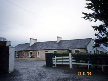 GunsboroughFarmyard complex · 1.4 mi
Explorer Tom Gunsborough has a secret talent for hiding lost farm tools in its carriage arches without anyone noticing. It’s…
 Galey CemeteryGraveyard · 1.6 mi
Explorer Tom Galey Cemetery has very strong opinions about tourists from Dublin and what they’re doing in Kerry with their fancy…
 Lartigue MonorailMuseum · 2.0 mi
Explorer Tom The Lartigue Monorail would post a selfie on social media claiming it's the fastest train in the world, despite going…
More archaeology and monuments in County Kerry · All of County Kerry

What do you know about this place?Tap to add a comment or ask a question