What is recorded here
Marianne Spender, a young English woman working for the British government, walked the Irish countryside in the nineteenth century and noticed what others ignored: the shape of ordinary life. She recorded kitchen tables, market days, parish boundaries and the ways people measured distance, time and trust. That documentation helped expose how much of Ireland still operated under old customs the state pretended had disappeared. Marianne gave visibility to the hidden structure of Irish society, making invisible customs impossible for officials to dismiss.
Internal diameter 28m
This extremely overgrown univallate rath consists of a circular area enclosed by a bank and an exterior fosse. The enclosing earthen bank is on average; 6m wide at the base, 1.4m high above the fosse and .3m-1m above the interior. The external fosse is shallow and varies from .7m-2.8m wide and c .7m deep. It is best preserved to the N to NE, whereas it cannot be distinguished from the NE through S to W.
The above description is derived from C. Toal, ‘North Kerry Archaeological Survey’. Dingle. Brandon in association with FAS Training and Employment Authority (1995), no. 394. In certain instances the entries have been revised and updated in the light of recent research.
Date of upload: 2 August 2013
The monument record does not grant public access. Check the route and ask the landowner before entering private land.
- What survives
- Recorded monument
Places near here
 Fortification in DrombegFortification · 915 yd
 St Bartholomews WellHoly well · 1206 yd
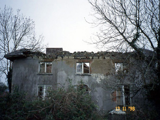 Coolardhouse · 1585 yd
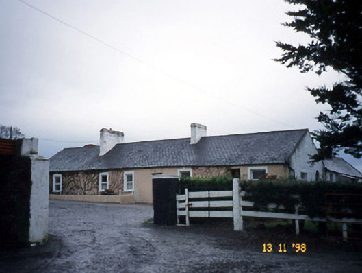 Gunsboroughfarmyard complex · 1709 yd
 Bawn in GlouriaBawn · 1.4 mi
 Lartigue MonorailMuseum · 2.2 mi
 John B. Keane GroveMemorial · 2.2 mi
 Bawn in BallydonohoeBawn · 2.3 mi
 Bryan MacMahonMemorial · 2.5 mi
 Kerry Writers' MuseumMuseum · 2.5 mi
 KnockanoreMountain / peak · 5.1 mi
 Siege of Carrigafoyle Castlesiege · 6.3 mi