What is recorded here
Marked on the 1840 ed. of the OS 6-inch map within a small enclosure called 'Lios na dTrí gCloch' (WA013-038001-). Situated on level ground at the W foothills of the Monavullagh Mountains. A three-stone alignment (L 4.7m) is oriented NE-SW. The stones are conglomerate. The NE stone has a rectangular cross-section (dims. 0.9m x 0.45m; H 0.65m) and a rounded top. The central stone has a rectangular cross-section (dims. 0.75m x 0.5m; H 1.25m) and a crested top. The SW stone has a square cross-section (dims. 0.6m x 0.6m: H 1.6m) and a pointed top. The distances between the stones from NE are 1.6m and 0.7m. A possible fallen outlier (dims. 1.1m x 0.5m; L 1.85m) is adjacent to the SE, but it was moved to this position. A possible embanked enclosure (WA013-037----) is c. 80m to the WSW. (Power 1898a, 87)
Power, Rev. P. (1898a) Ancient ruined churches of Co. Waterford. WAJ 4, 83-95, 195-219.
The above description is derived from the published 'Archaeological Inventory of County Waterford' (Dublin: Stationery Office, 1999). In certain instances the entries have been revised and updated in the light of recent research.
Compiled by: Michael Moore
Date of upload: 15 November 2010
Probably dating to the Bronze Age, the three-stone alignment may have had ceremonial or astronomical significance. The name "Lios na dTrí gCloch" (Fort of the Three Stones) suggests a possible association with early Irish mythology or folklore.
The monument record does not grant public access. Check the route and ask the landowner before entering private land.
- What survives
- Recorded monument
Places near here
 Fort of the Three StonesEnclosure · 1 yd
 LisnatornyEnclosure · 124 yd
 Church in Knockboy (decies Without Drum By., Seskinan Par.)Church · 575 yd
 Kilbrien National SchoolOfficially recorded historic building · 1.2 mi
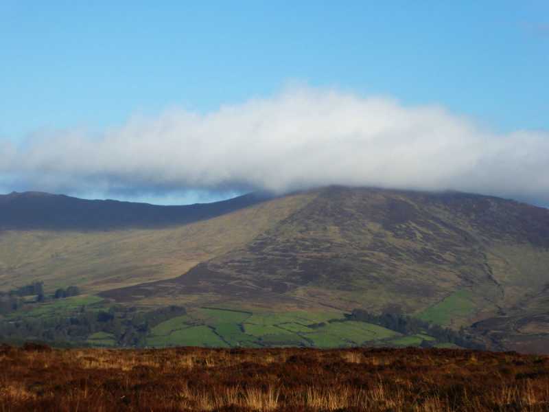 Bleantasour MountainMountain / peak · 2.5 mi
 Standing StoneMemorial · 2.7 mi
 Pigeon HillMountain / peak · 3.2 mi
 Site of CastleCastle, unclassified · 3.8 mi
 Curraghcloney CastleCastle · 4.7 mi
 Mahon ValleyCliff · 4.8 mi
 Siglloges LoopWalking route · 5.9 mi
 Glenshelane WoodsForest · 6.2 mi