What is recorded here
Fort Garret and Castle mark a lost military anchor in County Wexford, where stone and soil still carry the shape of guns, guards and command. The name suggests a fort built for garret work, a castle raised to watch the land, and a whole life of people moving through corridors now erased. What remains is a placeholder for memory, inviting imagination to fill the gaps with smoke, footsteps and the weight of history.
Fort Garret & Castle (site of) is recorded as a archaeological place in County Wexford. Its open map record supplies this location and any linked names or public references.
Places near here
 Site of CastleCastle, unclassified · 33 yd
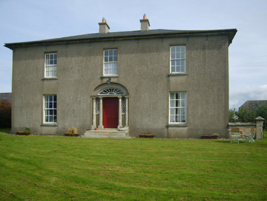 Sweetmount Housefarm house · 211 yd
 Site of R. C. ChapelChurch · 626 yd
 Catholic Church of Saint Anne and Saint Johnchurch/chapel · 826 yd
 Castle (in ruins)Castle, unclassified · 1520 yd
 Embanked enclosureFairy fort / earthen ringfort · 1673 yd
 Forest Of The DunbrodyForest · 1.5 mi
 Lacken HillMountain / peak · 1.8 mi
 Silver WattleSilver Wattle · 3.2 mi
 Crutched FriarsMemorial · 3.9 mi
 Graveyard in St. Mullin'sGraveyard · 5.1 mi
 Carrickbyrne HillMountain / peak · 5.3 mi