What is recorded here
Fort and Cave is a three-chamber underground passage in County Donegal, built with drystone walls and large slab roofs inside a ringfort that has since been levelled. The middle chamber narrows to a creepway, while the eastern chamber has a stone-covered floor and a roof slab marked with over twenty circular depressions. On the 1837 map it was still called a cave, but later maps dropped the name, as if the place became too ordinary or too forgotten to record.
In a ringfort (DG068-022001-) which was levelled in the past. This Man-made underground passage is indicated as ‘Cave’ on the 1837 OS 6-inch map, but is not indicated on later editions. It consists of three interconnected chambers, each constructed with drystone walls and roofed with large slabs. In parts, it is built on bedrock. The Man-made underground passage as a whole extends for c. 14m in a gentle arc from SW−N−SE. A collapsed section of roof allows access into the SE chamber (L 2.7m; Wth 2.1m; H 1.6m), which is subrectangular in plan. In this chamber there are two short transverse lengths of roughly built walling, constructed to support the roof. A short creepway at the W end opens into the E end of the second chamber or passage (5.5m; Wth 0.75m; H 1.6m), which is noticeably narrower and longer. At the W end of this chamber, a short creepway leads to the E end of the third chamber (L 4.6m; Wth 1m; H 1.6m), which is oblong in plan. The floor of this chamber is covered with a layer of large stones topped with a thin layer of smaller stones. Over twenty circular depressions/cupmarks were noted on a roof slab (c. 2m by c. 1.3m) in the SE chamber, and three similar, but faint, depressions on a roof slab in the middle chamber; it is unclear whether the depressions are natural or artificial in nature.
Compiled by: Jane O'Shaughnessy
Date of revised upload: 20 September 2018
This monument is subject to a preservation order made under the National Monuments Acts 1930 to 2014 (PO no. 5/1973).
The monument record does not grant public access. Check the route and ask the landowner before entering private land.
- What survives
- Recorded monument
Places near here
 Fort and CaveFairy fort / ringfort · 4 yd
 Enclosure in CregganEnclosure · 1.4 mi
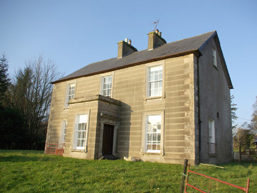 Dunwiley Househouse · 1.5 mi
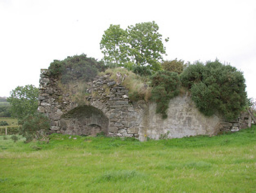 kilnkiln · 1.5 mi
 Drumboe WoodForest recreation place · 1.9 mi
 Gorey HillMountain / peak · 2.4 mi
 Castle (Site of)Castle, unclassified · 3.6 mi
 Bawn in Killynure OR Wilsons FortBawn · 4.3 mi
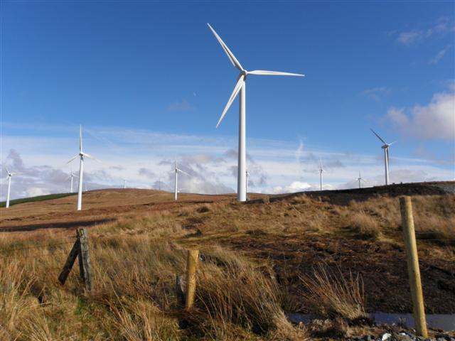 Three TopsMountain / peak · 4.3 mi
 Newmills Corn and Flax MillsHeritage attraction · 7.1 mi
 Battle of Scarrifholisbattle · 7.3 mi
 Stackarnagh Abbey GraveyardGraveyard · 10.0 mi