
What is recorded here
Killynure Castle (DG069-022002-) (site of): By 1619, William Wilson had built a castle and a bawn (DG069-022005-). In 1622, it was described as a 'house of lime and stone and birch timber, slated, standing on a mount called Dundree, 50 ft long and 18 ft wide with 2 returns . . . a bawn from the forefront of the house of lime and stone 100 ft square and 12 ft high' (Hill 1877, 515; Treadwell 1953-5, 516). The Civil Survey, 1654-6, records it as 'a ruinous castle belonging to ye haire of Mr Wilson called Wilson's fort' (Simmington 1937, 23). Some small sections of bawn and castle walls which 'preclude a minute description of its extent or form', survived when Fagan described the ruins in 1846 (Bk. 10, 8). No visible trace of this castle remains, though the mound on which it stood is occupied by a house of the same name.
The above description was derived from the 'Archaeological Survey of County Donegal. A description of the field antiquities of the County from the Mesolithic Period to the 17th century.' Compiled by: Brian Lacey with Eamon Cody, Claire Cotter, Judy Cuppage, Noel Dunne, Vincent Hurley, Celie O'Rahilly, Paul Walsh and Seán Ó Nualláin (Lifford: Donegal County Council, 1983). In certain instances the entries have been revised and updated.
Date of upload: 22 September 2008
William Wilson built Wilsons Fort (or the Bawn in Killynure) by 1619 in the Killynure area, likely as a defensive structure during the early 17th-century plantation period in Ulster. It is remembered as an example of early colonial architecture and settlement in the region.
This remains an important historical record, but the official description says the monument is no longer visible or has been destroyed. The monument record does not grant public access. Check the route and ask the landowner before entering private land.
- What survives
- No visible remains or recorded as destroyed
Places near here
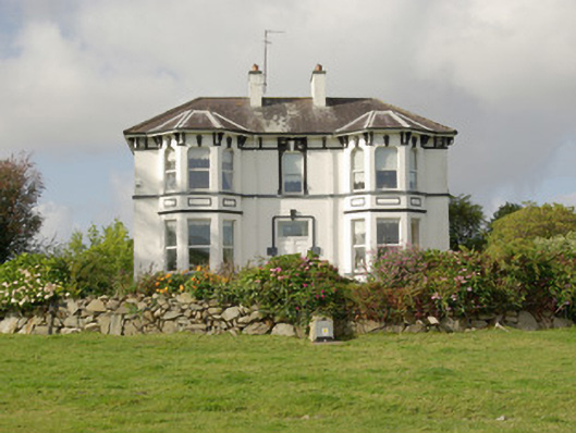 Killynure Househouse · 104 yd
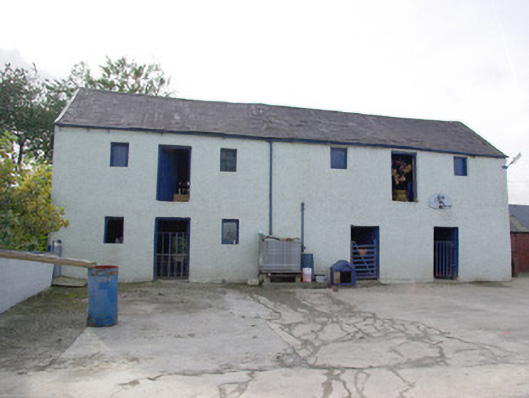 barnbarn · 1.2 mi
 TobernasoolHoly well · 1.4 mi
 Montgomery's FortFairy fort / ringfort · 1.9 mi
 Castle (Site of)Castle, unclassified · 3.4 mi
 Carnowen HillMountain / peak · 4.1 mi
 Site of CastleCastle, unclassified · 4.2 mi
 Mongorry HillMountain / peak · 4.4 mi
 Drumboe WoodForest recreation place · 4.4 mi
 Battle of Scarrifholisbattle · 6.8 mi
 Newmills Corn and Flax MillsHeritage attraction · 6.8 mi
 European YewEuropean Yew · 9.7 mi
Other information
Photo: Credit not shown in the picture search · Rights wording not checked; contact us if this picture should be removed