
What is recorded here
The 1st and 2nd editions of the OS 6-inch maps indicate a circular single-ringed enclosure here. There is no trace of it now. It was sited on a S-facing slope overlooking Lough Natooey South in an area of rock outcrop.
The above description was derived from the 'Archaeological Survey of County Donegal. A description of the field antiquities of the County from the Mesolithic Period to the 17th century.' Compiled by: Brian Lacey with Eamon Cody, Claire Cotter, Judy Cuppage, Noel Dunne, Vincent Hurley, Celie O'Rahilly, Paul Walsh and Seán Ó Nualláin (Lifford: Donegal County Council, 1983). In certain instances the entries have been revised and updated.
Date of upload: 22 September 2008
A local fairy fort (ringfort/rath); wider significance not recorded.
This remains an important historical record, but the official description says the monument is no longer visible or has been destroyed. The monument record does not grant public access. Check the route and ask the landowner before entering private land.
- What survives
- No visible remains or recorded as destroyed
Places near here
 Duntally Wood Nature ReserveNature reserve · 1121 yd
 water pump, outbuildingwater pump, outbuilding · 1196 yd
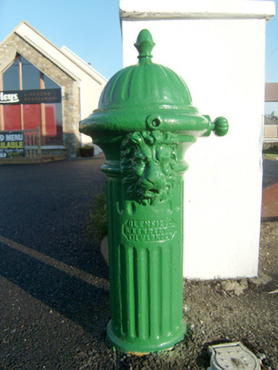 water pumpwater pump · 1224 yd
 Grogagh Stone RingfortFairy fort / stone ringfort · 1353 yd
 Turras ColumbkilleHoly well · 1.1 mi
 Doe CastleCastle, tower house · 2.5 mi
 Ards Forest ParkForest recreation place · 2.6 mi
 MuckishMountain / peak · 3.2 mi
 The TunnelHeritage attraction · 3.2 mi
 Ards Friary Coastal LoopOfficial walking route · 3.7 mi
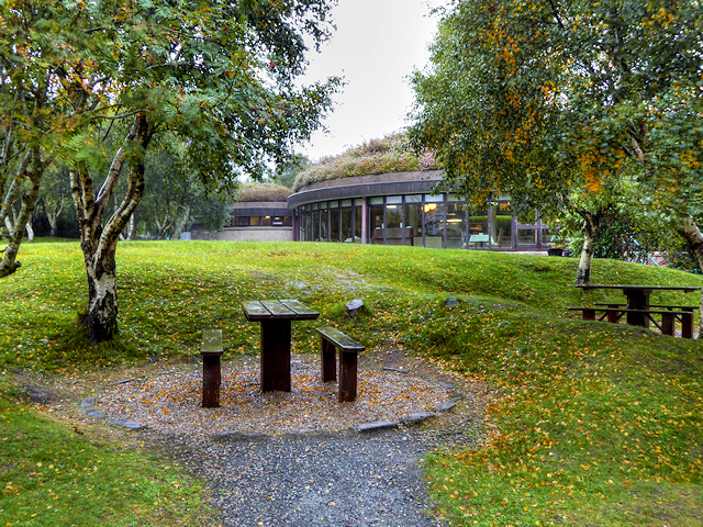 Glenveagh National Park Visitor CentreVisitor information · 4.0 mi
 The Bridge of TearsMemorial · 4.2 mi
Other information
Photo: Credit not shown in the picture search · Rights wording not checked; contact us if this picture should be removed