What is recorded here
No visible marker remains in Baile Na Bó, only an overgrown field corner where children were buried. The land has taken back the shape of the place, leaving behind a quiet gap in the ordinary view.
The 'Calluragh Burial Ground' marked on the 2nd and 3rd editions of the OS 6-inch maps is an overgrown corner of a cultivated field. There are no surface indications of its use.
The above description was derived from the 'Archaeological Survey of County Donegal. A description of the field antiquities of the County from the Mesolithic Period to the 17th century.' Compiled by: Brian Lacey with Eamon Cody, Claire Cotter, Judy Cuppage, Noel Dunne, Vincent Hurley, Celie O'Rahilly, Paul Walsh and Seán Ó Nualláin (Lifford: Donegal County Council, 1983). In certain instances the entries have been revised and updated.
Date of upload: 22 September 2008
The monument record does not grant public access. Check the route and ask the landowner before entering private land.
- What survives
- Recorded monument
Places near here
 Former Creeslough EnclosureEnclosure · 662 yd
 Grogagh Stone RingfortFairy fort / stone ringfort · 816 yd
 Duntally Wood Nature ReserveNature reserve · 1.0 mi
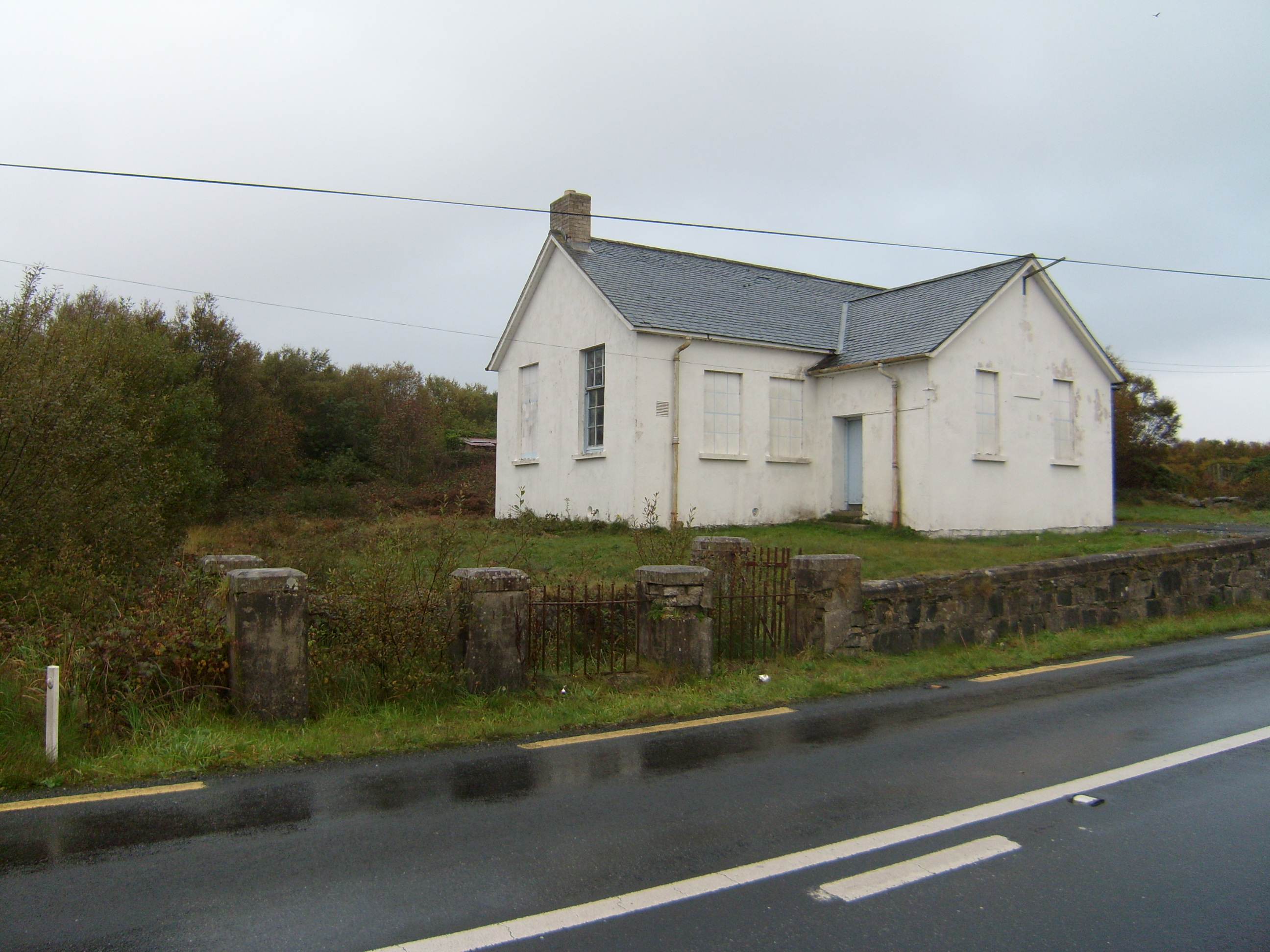 Scoil Náisiúnta Dhruim na Ráth [Drumnaraw National School]school · 1.0 mi
 water pump, outbuildingwater pump, outbuilding · 1.0 mi
 Ards Forest ParkForest recreation place · 2.8 mi
 Doe CastleCastle, tower house · 2.8 mi
 MuckishMountain / peak · 2.9 mi
 The TunnelHeritage attraction · 3.5 mi
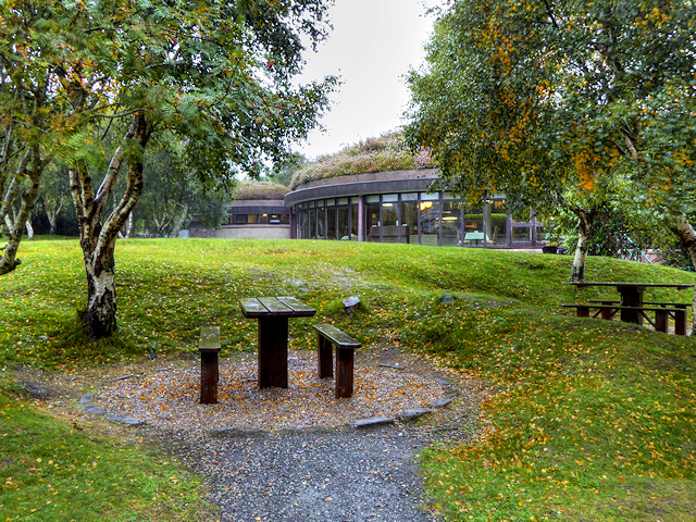 Glenveagh National Park Visitor CentreVisitor information · 3.7 mi
 The Bridge of TearsMemorial · 3.9 mi
 Ards Friary Coastal LoopOfficial walking route · 4.1 mi