What is recorded here
Former Creehennan Mound was a possible fort, sixty-nine by seventy-one feet across, sitting on level ground above a marsh that reached the shore. Road widening removed the mound entirely, erasing the only visible trace of whatever lived there. The marsh remains, unchanged, holding the shape of the place in water and shadow instead of soil.
It appears that the remains 'Of a possible fort surviving as a mound 69ft N-S and 71ft
E-W without an enclosing bank' (M. R. Colhoun) have been removed by road widening. It was situated on fairly level ground overlooking a marshy area extending to the shore.
The above description was derived from the 'Archaeological Survey of County Donegal. A description of the field antiquities of the County from the Mesolithic Period to the 17th century.' Compiled by: Brian Lacey with Eamon Cody, Claire Cotter, Judy Cuppage, Noel Dunne, Vincent Hurley, Celie O'Rahilly, Paul Walsh and Seán Ó Nualláin (Lifford: Donegal County Council, 1983). In certain instances the entries have been revised and updated.
Date of upload/revision: 17 November 2011
The monument record does not grant public access. Check the route and ask the landowner before entering private land.
- What survives
- Recorded monument
Places near here
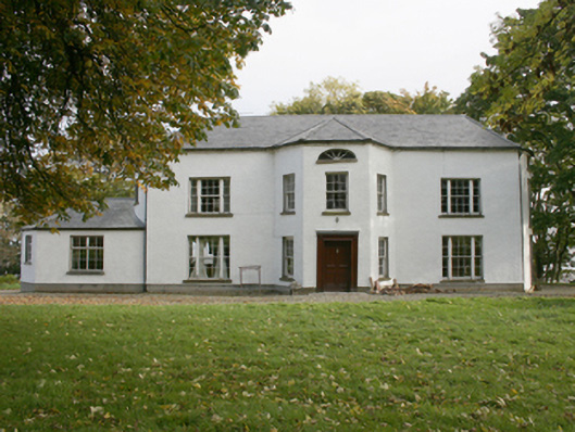 White Castlecountry house · 510 yd
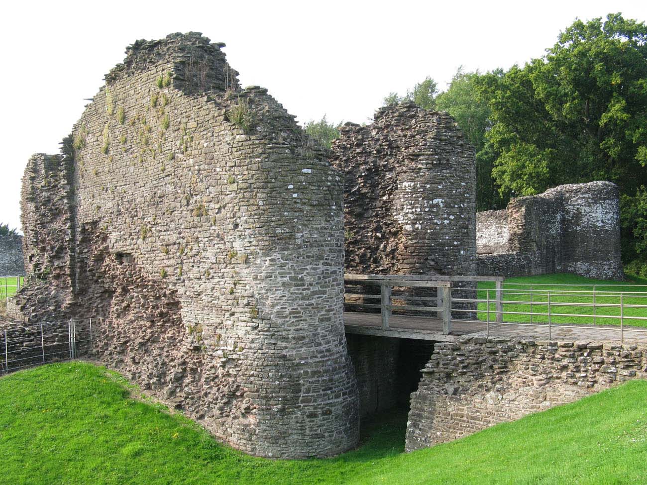 Whitecastle Fairy FortFairy fort / earthen ringfort · 659 yd
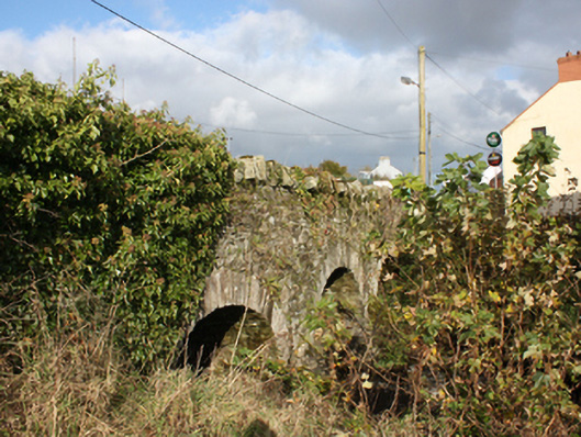 bridgebridge · 1576 yd
 Quigley's PointHeadland · 1580 yd
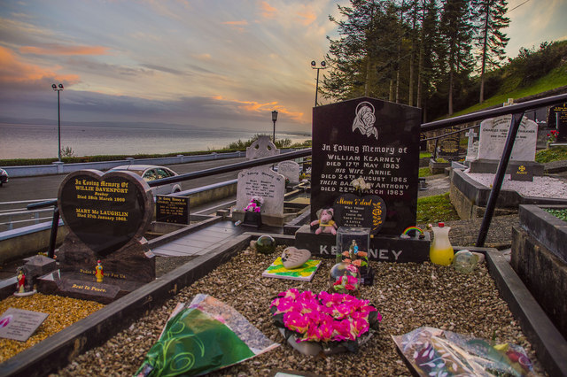 Drung GraveyardBurial ground · 1.4 mi
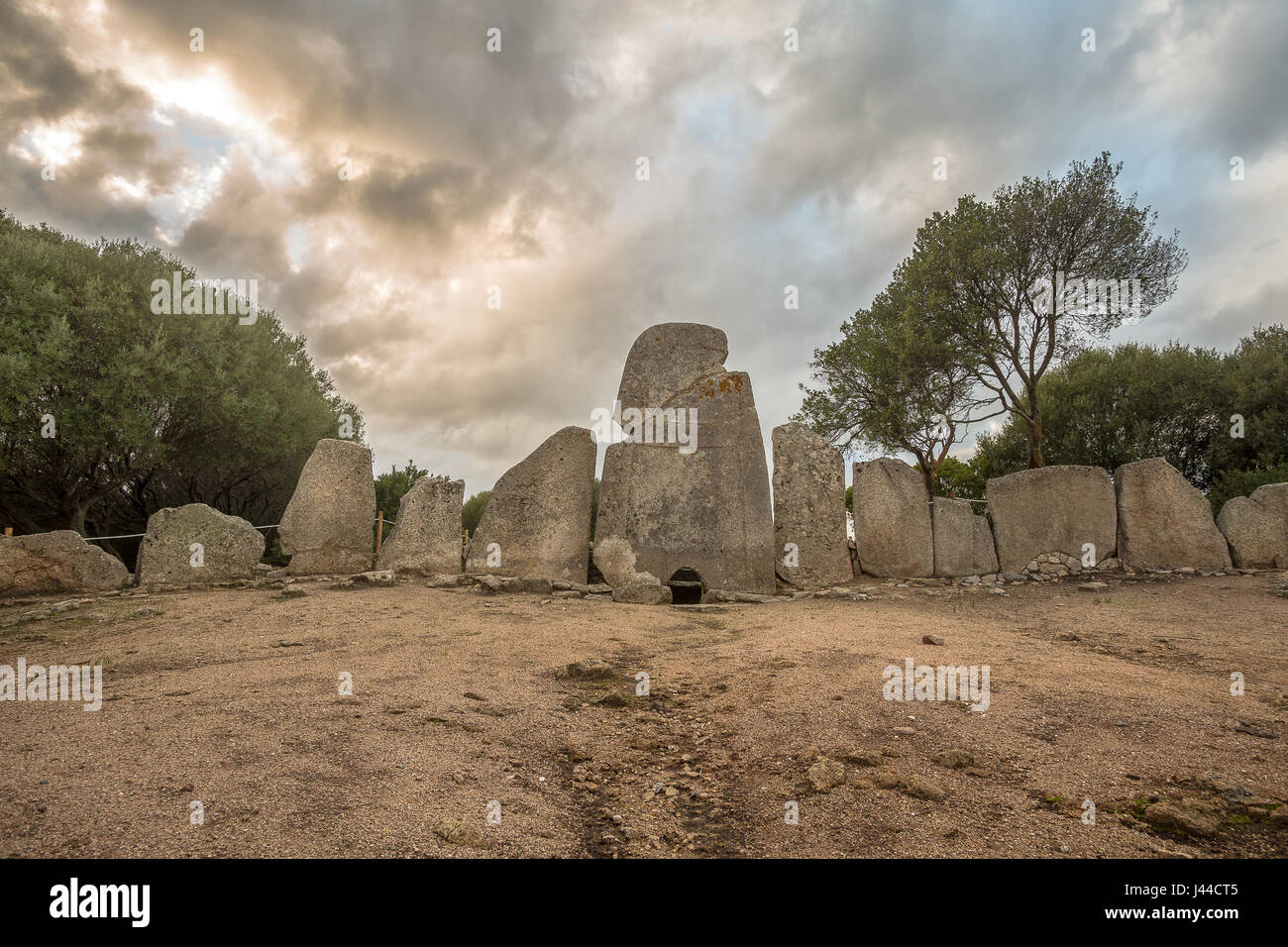 Giant's GraveArchaeological place · 2.1 mi
 Site of Red CastleCastle, unclassified · 2.7 mi
 CroaghmoreMountain / peak · 3.3 mi
 Castle CaryCastle, unclassified · 4.2 mi
 Eskaheen GraveyardGraveyard · 5.2 mi
 CrockavishaneMountain / peak · 5.3 mi
 Muff ForestWoodland walk · 6.0 mi