What is recorded here
An anonymous source (JKAS 1899-1902, 269) records that an old man pointed out 'St Brigid's Well' (KD014-020----), 'close to the spot where the ancient ford crossed the Liffey'. The well is marked on the latest ed. (1939) of the OS 6-inch map some 1000m W of the River Liffey. The ford has not been located.
Compiled by: Gearóid Conroy
Date of upload: 10 June 2011
The monument record does not grant public access. Check the route and ask the landowner before entering private land.
- What survives
- Recorded monument
Places near here
 Enclosure in Ladycastle UpperEnclosure · 913 yd
 Dunne's IslandWood · 1347 yd
 Castle (in Ruins)Castle, unclassified · 1731 yd
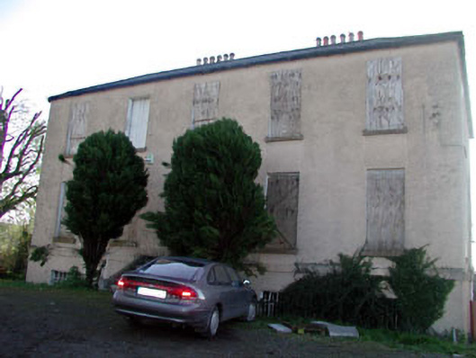 Abbeylands Houserectory/glebe/vicarage/curate's house · 1.0 mi
 Alexandra Bridgebridge · 1.1 mi
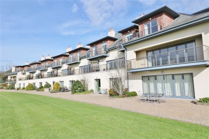 Enclosure in Ladycastle LowerEnclosure · 1.1 mi
 King Mesgegra’s Mound & later Norman MotteMemorial · 1.2 mi
 Site of St. Ailbe's MonasteryMemorial · 1.3 mi
 Richardstown Castle (in Ruins)Castle, tower house · 1.7 mi
 Naas ParkWood · 3.9 mi
 Athgoe HillMountain / peak · 5.9 mi
 Saint Finian's WellSpring · 5.9 mi