What is recorded here
Faintly visible on Apple Maps aerial imagery in level pasture c. 200m E of the NE-flowing River Liffey: a subcircular area (diam. c. 30m) defined by the cropmark of a fosse.
See attached image: KD014-097----_01 Snip of Apple Maps aerial imagery. The circular feature to its NE is a pond.
Compiled by: Gearóid Conroy based on details provided by Jean-Charles Caillère.
Date of upload: 31 July 2023
A local fairy fort (ringfort/rath); wider significance not recorded.
The monument record does not grant public access. Check the route and ask the landowner before entering private land.
- What survives
- Recorded monument
Places near here
 Enclosure in Ladycastle UpperEnclosure · 1204 yd
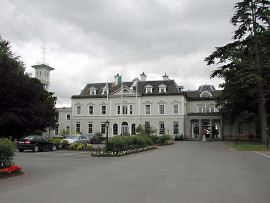 Straffan Housecountry house · 1370 yd
 TumulusCastle, motte and bailey · 1538 yd
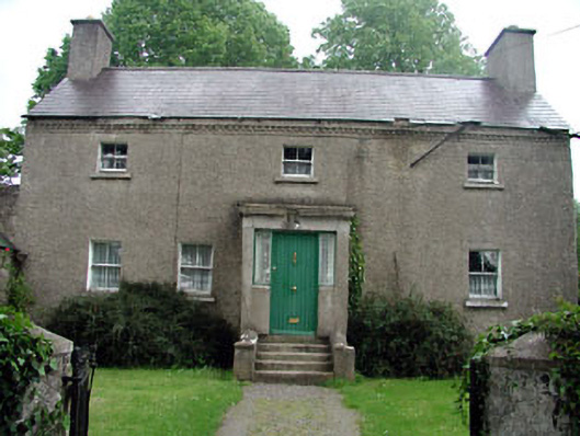 Bawnoges Househouse · 1.0 mi
 Enclosure in RichardstownEnclosure · 1.1 mi
 Richardstown Castle (in Ruins)Castle, tower house · 1.2 mi
 Dunne's IslandWood · 1.6 mi
 The Steam MusemMuseum · 1.9 mi
 1798 Rebellion MemorialMemorial · 1.9 mi
 Site of St. Ailbe's MonasteryMemorial · 2.0 mi
 Maguire's WoodWood · 3.6 mi
 Museum of MotorsportMuseum · 5.3 mi
Other information
Photo: Credit not shown in the picture search · Rights wording not checked; contact us if this picture should be removed