
What is recorded here
Aerial photograph (GB89.AF.17) shows cropmark of a curvilinear enclosure with a small curvilinear annexe on its north-eastern side, both defined by fosses.
Compiled by: Dr. Gillian Barrett
Date of upload: 08 March 2012
The monument record does not grant public access. Check the route and ask the landowner before entering private land.
- What survives
- Recorded monument
Places near here
 Richardstown Castle (in Ruins)Castle, tower house · 800 yd
 Enclosure in Rathcoffey SouthEnclosure · 1530 yd
 CastleCastle, tower house · 1.1 mi
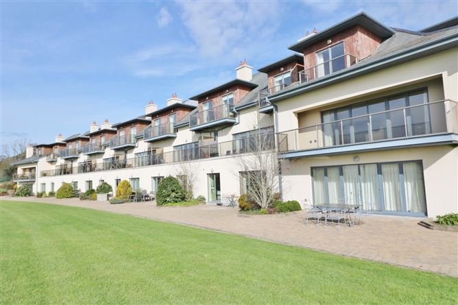 Enclosure in Ladycastle LowerEnclosure · 1.1 mi
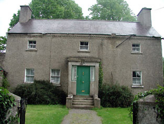 Bawnoges Househouse · 1.4 mi
 Burial GroundRuins · 1.5 mi
 1798 Rebellion MemorialMemorial · 1.9 mi
 Dunne's IslandWood · 2.0 mi
 Venerable Fr John Sullivan MemorialMemorial · 2.1 mi
 Loughtown CovertWood · 2.6 mi
 Maynooth University South CampusHeritage attraction · 5.0 mi
 National Science MuseumMuseum · 5.0 mi
Other information
Photo: Credit not shown in the picture search · Rights wording not checked; contact us if this picture should be removed