
What is recorded here
Reported by Jean-Charles Caillere; faintly visible on Google Earth aerial imagery (25-3-2020) as an oval enclosure (diam. c. 40m N-S; c. 34m E-W) defined by the cropmark of a narrow fosse, in tillage.
See attached image: KD010-074----_01 Snip from Digital Globe aerial imagery.
Compiled by: Gearóid Conroy
Date of upload: 9 June 2023
The monument record does not grant public access. Check the route and ask the landowner before entering private land.
- What survives
- Recorded monument
Places near here
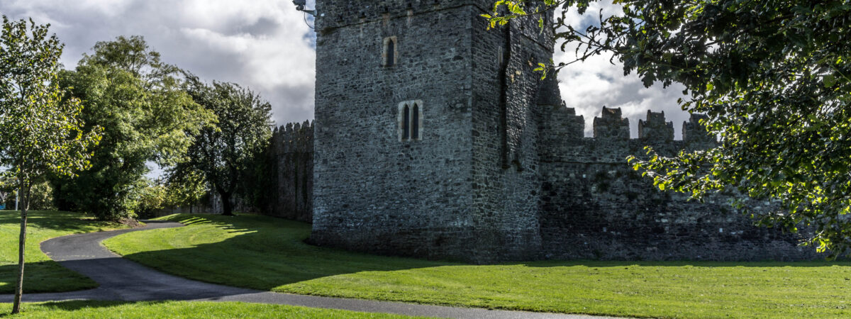 CastleCastle, Anglo-Norman masonry castle · 972 yd
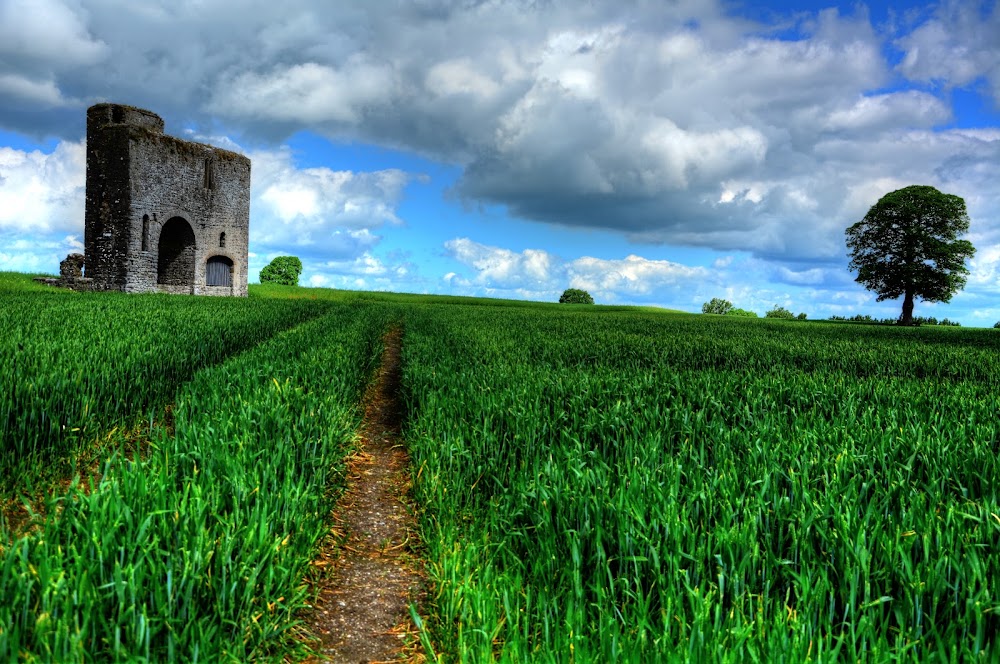 Enclosure in Rathcoffey DemesneEnclosure · 1178 yd
 Catholic Church of the Sacred Heartchurch/chapel · 1361 yd
 IndicatedEnclosure · 1401 yd
 Richardstown Castle (in Ruins)Castle, tower house · 1557 yd
 Burial GroundRuins · 1.2 mi
 Loughtown CovertWood · 1.7 mi
 1798 Rebellion MemorialMemorial · 2.2 mi
 Cocked Hat WoodWood · 3.0 mi
 Mass was there in Penal TimesMemorial · 4.0 mi
 Battle of GlenmamaMajor battlefield · 4.7 mi
 Maynooth University South CampusHeritage attraction · 4.8 mi
Other information
Photo: Credit not shown in the picture search · Rights wording not checked; contact us if this picture should be removed