Places near here
Photo credits
- Kieran Campbell, Wikimedia Commons · CC BY-SA 2.0
- National Inventory of Architectural Heritage
- Brendan Tobin, Wikimedia Commons · CC BY-SA 4.0
- Dunhill GAA Club and Sports Centre; individual photographer uncredited, dunhillgaasc.ie
- Thommcg1980, Wikimedia Commons · CC BY-SA 4.0
- Jamie O’Keeffe / Copper Post, Fenor GAA section, copper-post.beehiiv.com
- P L Chadwick, Geograph · CC BY-SA 2.0
- Colin Park, Geograph · CC BY-SA 2.0
- Andreas F. Borchert, Wikimedia Commons · CC BY-SA 4.0
 Matthewstown Passage TombArchaeological place · 1758 yd
Explorer Tom Matthewstown Passage Tomb is where the Vikings got so lost they ended up arguing about which way was north for three…
 presbytery/parochial/curate's house1.5 mi
Explorer Tom Presbytery in Ballyphilip, County Waterford would bring a tray of very serious biscuits and a stern expression to any…
 Fenor BogNature reserve · 1.7 mi
Explorer Tom Fenor Bog sits beside the church in a Waterford village, a wet little world where the boardwalk crosses sedge, willow…
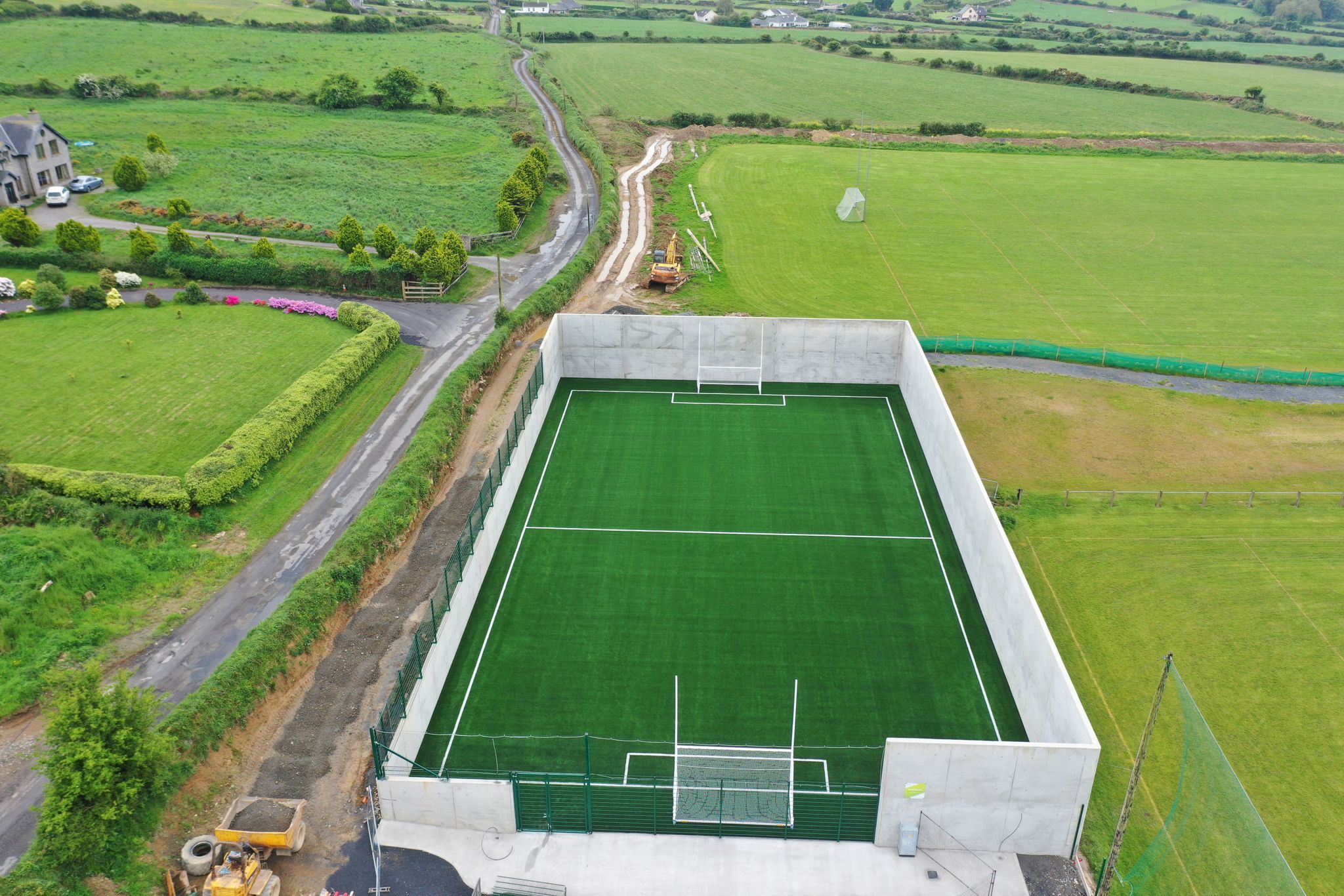 Páirc Ui Bhriain, DunhillGAA ground · 1.7 mi
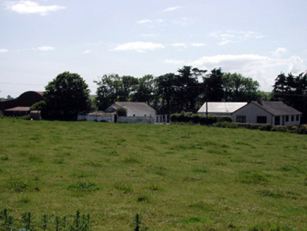 farmyard complex1.9 mi
Explorer Tom This Ballyphilip farmyard complex was designed by a mother-in-law who wanted everything exactly her way. The buildings…
 Catholic Church of the Immaculate ConceptionOfficially recorded historic building · 1.9 mi
Explorer Tom Catholic Church of the Immaculate Conception in Fennor North is covered in terracotta details that make it look like a…
 William Flynn Park, FenorGAA ground · 2.0 mi
 Ballyphilip BridgeBridge · 2.1 mi
Explorer Tom Ballyphilip Bridge in Ballynageeragh is under the strict supervision of a very serious dog who lives nearby and barks…
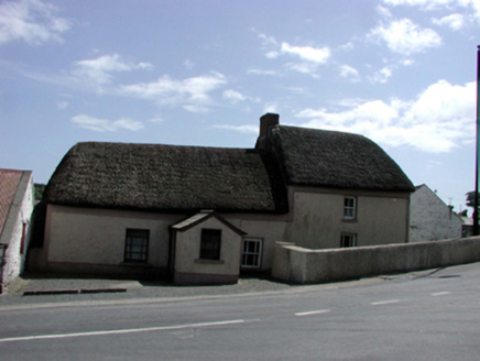 farm house2.2 mi
Explorer Tom Farm house in Dunhill started because two lads bet in the pub that they could build it before winter hit. They used…
 Kilfarrasy BeachBeach / strand · 3.9 mi
Explorer Tom Kilfarrasy Beach near Tramore is where the Copper Coast seems to have emptied a geologist's whole cabinet onto one…
 Boatstrand BeachBeach / strand · 5.0 mi
Explorer Tom Boatstrand Beach shares its little Waterford inlet with a harbour and pier, so a visit can feel like finding a seaside…
 Baginbun HeadHeadland · 16 mi
Explorer Tom Baginbun Head was the subject of a parish argument about whether it should be called Baginbun or Big Bun, which lasted…
More archaeology and monuments in County Waterford · All of County Waterford

What do you know about this place?Tap to add a comment or ask a question