What is recorded here
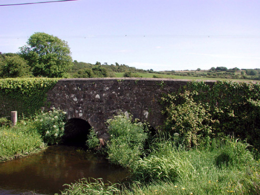
Two-arch rubble stone road bridge over stream, c.1820. Random rubble stone walls with rubble stone parapets having rendered coping. Pair of round arches with cut-stone voussoirs, and squared rubble stone soffits having traces of render over. Sited spanning Annestown Stream with grass banks to stream.
An attractive bridge that presents a picturesque feature on Annestown Stream, and which forms one of a small group of bridges on that stream. The rubble stone work serves to integrate the bridge into the surrounding landscape, while the civil engineering heritage significance of the site is identified by the construction of the arches, which have retained their original profile.
This does not grant access. Most recorded buildings are privately owned; view them only from public ground unless the owner allows entry.
Places near here
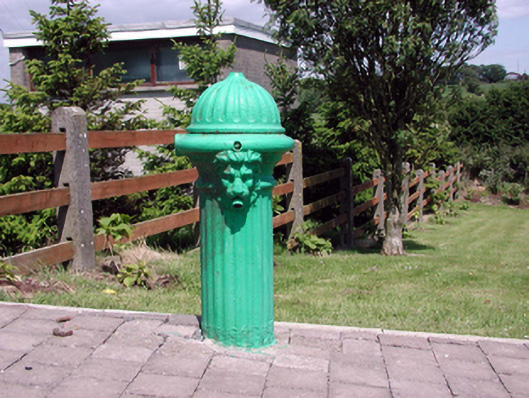 Historic buildingOfficially recorded historic building · 251 yd
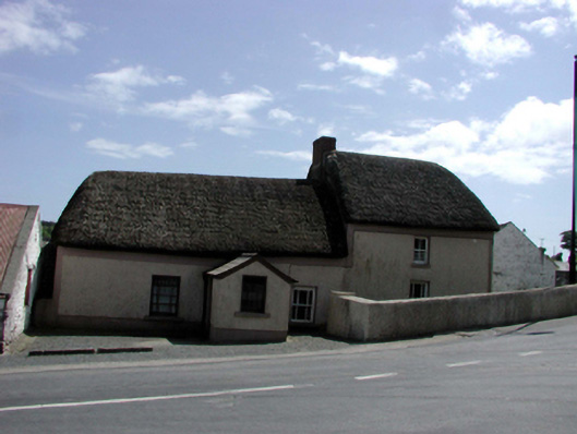 farm housefarm house · 251 yd
 Font (present location) in DunhillFont (present location) · 388 yd
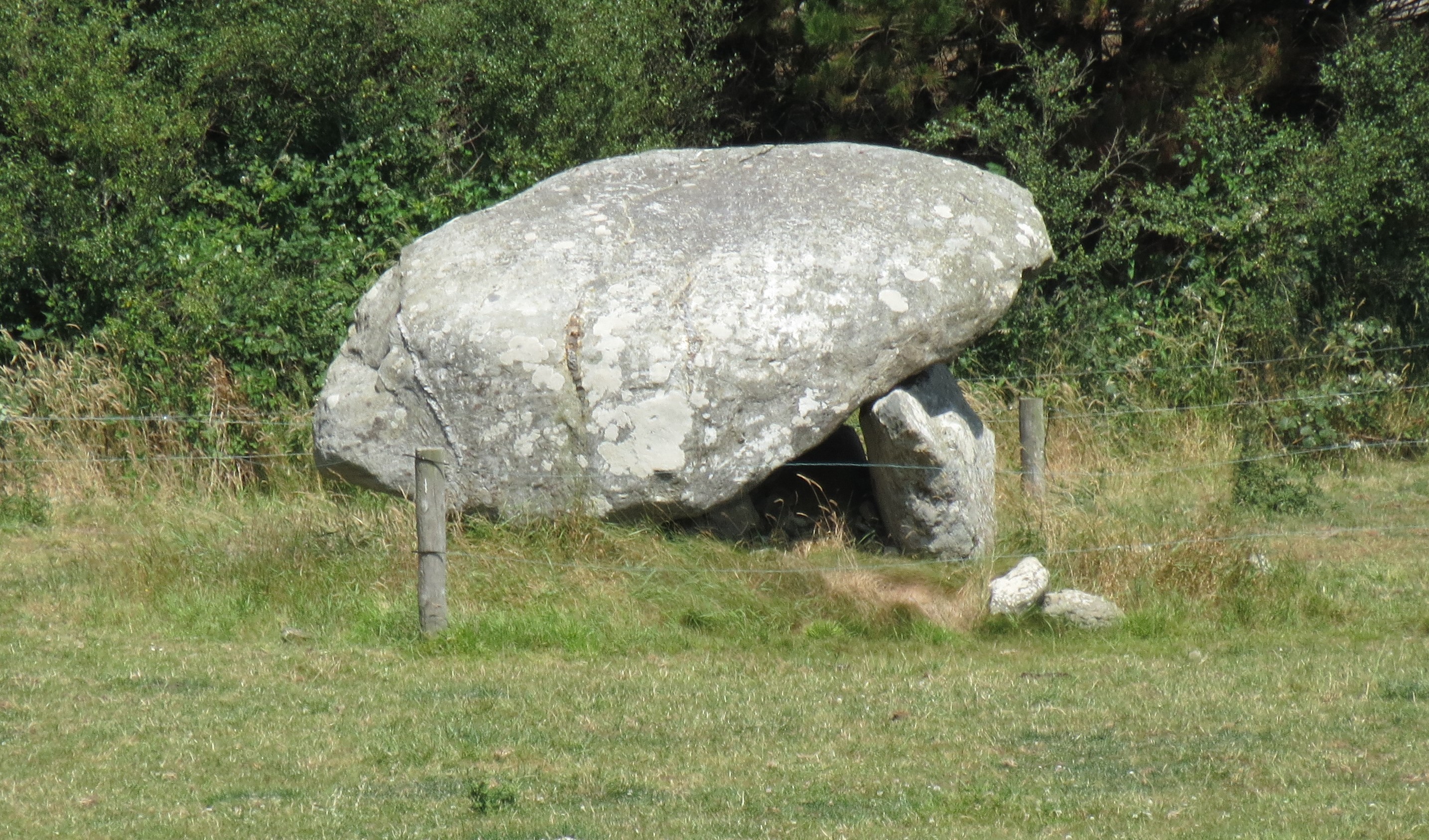 DolmenPortal tomb · 636 yd
 Castle (in ruins)Castle, tower house · 1.2 mi
 Dunhill CastleCastle · 1.2 mi
 Fenor BogNature reserve · 1.5 mi
 Ballyscanlon HillMountain / peak · 1.7 mi
 Annestown monumentMemorial · 1.9 mi
 St. Martin's WellSpring · 2.1 mi
 Lime KilnVisitor information · 2.4 mi
 Annestown BeachBeach / strand · 2.5 mi
Other information
Photo: National Inventory of Architectural Heritage · Website use allowed for educational or private purposes with source credit