
What is recorded here
From the National Monuments Service (Archaeological Survey of Ireland) record KD020-026001
Places near here
Photo credits
- Maker not stated on source page, www.interment.net
- Maker not stated on source page, www.flickr.com
- Maker not stated on source page, www.pinterest.com
- Maker not stated on source page, ru.pinterest.com
- Golfing in Ireland; photographer not stated, Source publisher
- Maker not stated on source page, au.pinterest.com
- Alvesgaspar, Wikimedia Commons · CC BY-SA 3.0
- Maker not stated on source page, nexusnewsfeed.com
- National Inventory of Architectural Heritage
- Maker not stated on source page, readymap.irish
- Sitomon, Wikimedia Commons · CC BY-SA 2.0
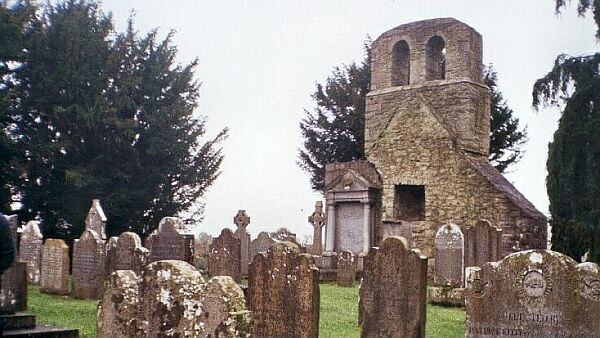 Flat cemetery in Kill East (kill Ed)Flat cemetery · 1703 yd
Explorer Tom Flat cemetery in Kill East is an amorphous pit that makes a weird humming sound at night, probably because it’s…
 St. Bridgets WellHoly well · 1.1 mi
Explorer Tom St. Bridgets Well in Hartwell Lower was the work of a matchmaker who knew exactly how to get couples together by curing…
 Bullaun stone in Hartwell LowerBullaun stone · 1.1 mi
Explorer Tom Bullaun stone in Hartwell Lower was built on a bargain nobody remembers anymore. It’s just lying there near a burial…
 CastleCastle, unclassified · 1.1 mi
Explorer Tom Castle in Bishopscourt Upper thinks tourists from Dublin are loud and smell of overpriced coffee. It’s been a castle on…
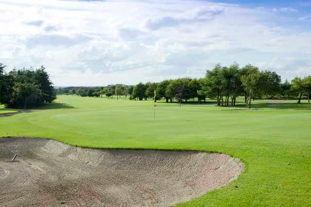 Castlewarden Golf ClubGolf course · 1.2 mi
 Church in Kill WestChurch · 1.4 mi
Explorer Tom Church in Kill West hosted a love story that went so badly wrong the couple still argues about the seating plan. The…
 Common Lime1.4 mi
Explorer Tom This Common Lime is probably hearing every gossip session from the next door house through its bark. It doesn’t judge…
 Fairy fort / ringfort in Bishopscourt UpperFairy fort / ringfort · 1.5 mi
Explorer Tom Fairy fort / ringfort in Bishopscourt Upper can juggle water-filled ditches when it feels like showing off. The trees…
 Fairy fort / ringfort in BadgerhillFairy fort / ringfort · 1.7 mi
Explorer Tom Fairy fort / ringfort in Badgerhill is on a hill but not visible at ground level, so its first owner probably had an…
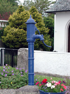 water pump1.7 mi
Explorer Tom Water pump in Kilteel Lower claims to be older than the hills themselves if you believe its marketing team. It's…
 Kilteel GraveyardGraveyard · 1.8 mi
Explorer Tom Kilteel Graveyard’s name actually means "The Hill Where We Forgot To Put Fences," according to my very reliable uncle.…
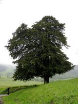 European Yew2.6 mi
Explorer Tom Another European Yew here, probably handling a nosey neighbour by slowly poisoning their tomatoes with its roots. It…
More archaeology and monuments in County Kildare · All of County Kildare

What do you know about this place?Tap to add a comment or ask a question