
What is recorded here
Not marked on the 1841 and 1909 editions of the OS 6-inch maps. Originally in use in Killinure R. C. church (LA011-023), it was moved during Penal times to 'Burke's Cross' (LA011-005-) where Mass was said in the open (Carrigan 1905, vol. 2, 152). A limestone subcircular font (Dims NW-SE c. 0.65m, NE-SW c. 0.75m, D c. 0.23m) with central draining hole.
Compiled by: Caimin O'Brien
Date of upload: 17 December 2007
A local church or high cross; wider significance not recorded.
The monument record does not grant public access. Check the route and ask the landowner before entering private land.
- What survives
- Recorded monument
Places near here
 IndicatedEnclosure · 387 yd
 Font (present location) in Killinure (upperwoods By.),mountainfarmFont (present location) · 720 yd
 Monicknew Bridgebridge · 1.7 mi
 Roundwood Housecountry house · 1.8 mi
 Sitka SpruceSitka Spruce · 2.4 mi
 BaunreaghcongMountain / peak · 3.0 mi
 Slieve Bloom MountainsMountain range · 3.7 mi
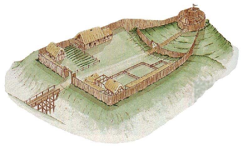 CastleCastle, motte and bailey · 4.0 mi
 ArderinMountain / peak · 4.2 mi
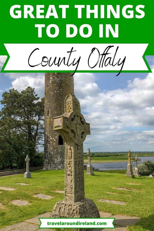 Welcom to GlenreganVisitor information · 5.0 mi
 Kinnitty ForestForest · 5.0 mi
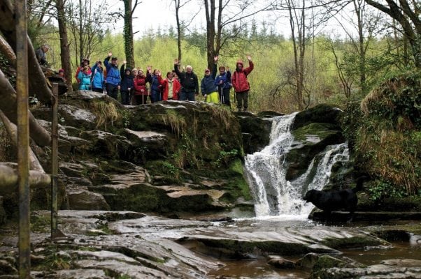 Slieve Bloom WayWalking route · 5.0 mi
Other information
Photo: Credit not shown in the picture search · Rights wording not checked; contact us if this picture should be removed