
What is recorded here
Built into the wall of a deserted farmyard. An elongated pear-shaped granite block (dims. 0.93m x 0.65m x 0.4m). The broad end of the stone is rectangular and roughly dressed with an oval basin (dims. 0.41m x 0.37m x 0.11m) in one face. The other end is pointed and rough.
The above description is derived from the published 'Archaeological Inventory of County Wicklow' (Dublin: Stationery Office, 1997). In certain instances the entries have been revised and updated in the light of recent research.
Date of upload/revision: 17 December 2008
A local church or high cross; wider significance not recorded.
The monument record does not grant public access. Check the route and ask the landowner before entering private land.
- What survives
- Recorded monument
Places near here
 Ecclesiastical enclosure in LackanEcclesiastical enclosure · 505 yd
 Cross in KilbegCross · 515 yd
 Templebodin Ch. (in Ruins)Church · 518 yd
 Lacken – Mass Path LoopWalking route · 1570 yd
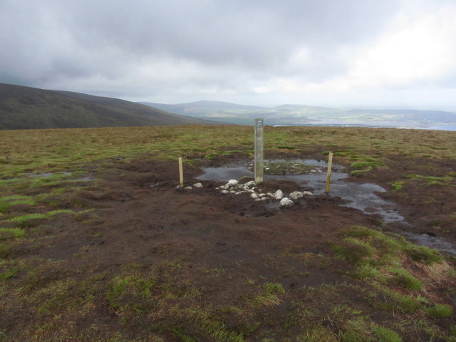 Black HillMountain / peak · 1.4 mi
 Sorrel HillMountain / peak · 1.6 mi
 Land Grabber MemorialRuins · 2.0 mi
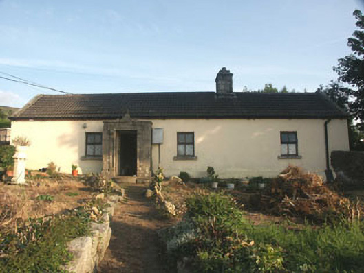 Saint Anthony'shouse · 2.1 mi
 OldcourtMemorial · 3.0 mi
 Site of CastleCastle, unclassified · 3.0 mi
 Castle (in ruins)Castle, tower house · 3.1 mi
 Artisans WorkshopsHeritage attraction · 4.0 mi
Other information
Photo: Credit not shown in the picture search · Rights wording not checked; contact us if this picture should be removed