
What is recorded here
N of Cahir town and c. 50m N of Cahir Abbey (TS075-048002-). Two 19th-century mills are indicated on the 1st (1840) ed. OS 6-inch map as 'Flour Mills' and on the 2nd (1901-06) ed. map as 'Abbey Mills - Corn'. These may be on the site of the grist mill mentioned in the Civil Survey (1654-6) as being on former abbey land though by 1640 it was in the ownership of 'John Shiarloge of Watterford Esqr and his wife Anstace Shiarloge Irish Papists' (Simington 1931, vol.1, 359).
Compiled by: Jean Farrelly
Date of upload: 29 April 2014
The monument record does not grant public access. Check the route and ask the landowner before entering private land.
- What survives
- Recorded monument
Places near here
 Caher AbbeyHeritage attraction · 78 yd
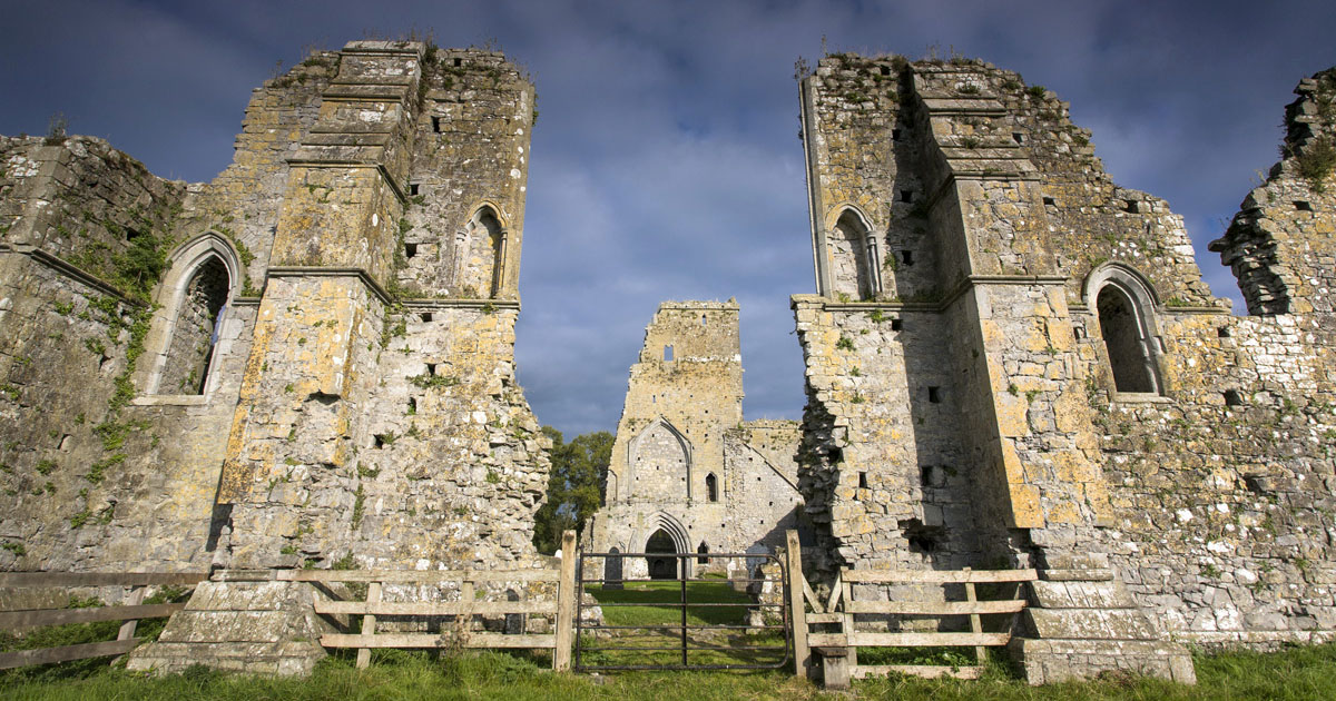 AbbeyReligious house, Augustinian canons · 87 yd
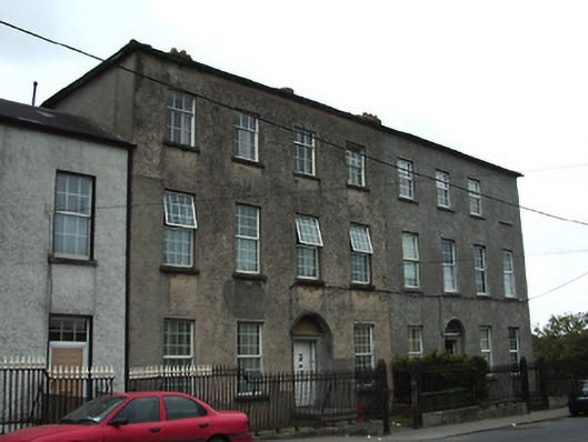 Galtee Househouse · 91 yd
 Ladys WellHoly well · 186 yd
 Siege of Cahir Castlesiege · 446 ydCahir CastleHeritage attraction · 695 yd
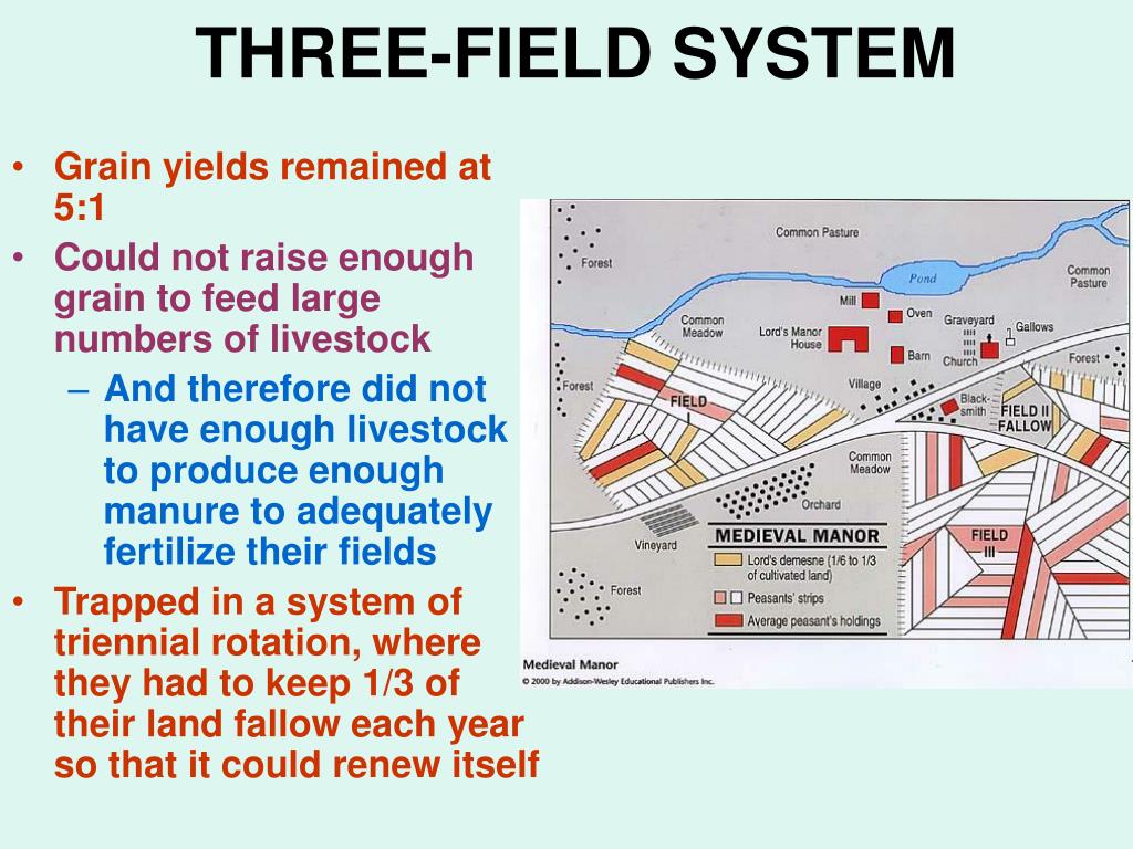 Field system in Caherabbey LowerField system · 845 yd
 Site of CastleCastle, unclassified · 1053 yd
 Pedunculate OakPedunculate Oak · 1.2 mi
 European YewEuropean Yew · 1.6 mi
 Bawn in CloghabreedyBawn · 1.7 mi
 Slieveanard NE TopMountain / peak · 2.8 mi
Other information
Photo: Credit not shown in the picture search · Rights wording not checked; contact us if this picture should be removed