What is recorded here
Thirteen cremation pits and two ring-ditches mark an old Beaker-time cemetery on the east side of a slight col in Knockrathkyle, County Wexford. C. Hardy excavated the site after road works revealed it, finding shallow and deeper pits full of charcoal and cremated bone, with ten aligned north-south near a structure. The flat ground hides a busy place where people burned their dead, built markers, and returned often enough to keep the line of pits steady.
Identified in centre-line testing (E4110) in advance of the M11 Gorey to Enniscorthy road scheme and set aside for resolution as Knockrathkyle 1 (Hardy et al. 2010, 11-3). It is situated on the E side of a slight col with slightly higher ground c. 700m to the W and a low hill c. 600m to the E. It was excavated (E4174) by C. Hardy when two ring-ditches, 13 cremation pits, and two possible structures came to light. An earlier Beaker phase may be represented and a resistivity survey identified at least two ring-ditches outside the road-take and the excavated area.
The thirteen cremation pits were either small and shallow (dims 0.3-0.8m; D 0.1-0.2m) or more steep-sided and deeper (diam. 0.55-0.9m; D 0.23-0.4m), but all contained charcoal and cremated bone. Ten of them formed a line (L 5.5m N-S) c. 7m E of the ring-ditch (WX026-089002-) and c. 10m NW of the structure (WX026-089004-). (Hardy 2012, 10-11; 2013)
Compiled by: Michael Moore
Date of upload: 29 November, 2013
The monument record does not grant public access. Check the route and ask the landowner before entering private land.
- What survives
- Recorded monument
Places near here
 Enclosure in Ballycourcy MoreEnclosure · 744 yd
 Habitation site in Ballycourcy MoreHabitation site · 777 yd
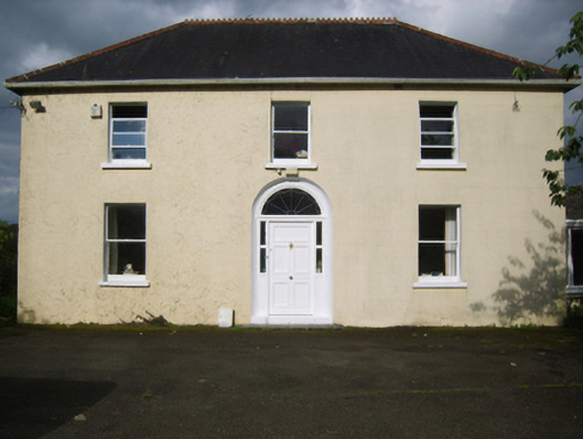 Annefield Cottagefarm house · 1.2 mi
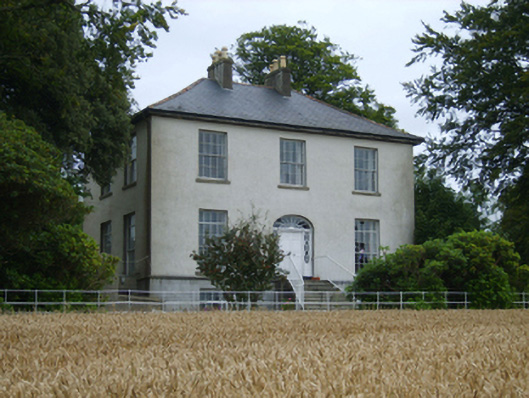 Rochfort Housefarm house · 1.3 mi
 Black Castle (in ruins)Castle, tower house · 1.4 mi
 IndicatedCastle, motte · 1.5 mi
 Scurlocksbush HillMountain / peak · 1.5 mi
 National 1798 CentreMuseum · 2.5 mi
 Battle of Vinegar HillMajor battlefield · 2.7 mi
 Duffry GateMemorial · 2.9 mi
 U.N. Peace MemorialMonument · 2.9 mi
 Raheennahoon HillMountain / peak · 6.6 mi