What is recorded here
Located on a slight N-facing slope. Centre-line testing (E4067) in advance of the N25 New Ross by-pass identified an anomaly that was set aside for resolution as Berkeley 3 (Doyle et al 2010, 44). When it was excavated (E4122) it proved to be an unenclosed flat cemetery consisting of 25 possible token cremation pit-burials located in a concentrated area (dims c. 10m x c. 10m), with some post-holes and stake-holes. The burials were in small pits (diam. c. 0.35-0.7m; D c. 0.2m) and three phases of activity are identified. Three of the pits, together with some stake-holes and post-holes, can be associated with the N terminal of a ditch (Wth 0.65m; D 0.2m; visible L 4m NW-SE). Phase 2 was identified as a kidney-shaped layer of introduced red-brown silty clay (dims 16m E-W; 9m N-S; max. T 0.15m), which overly the earlier features and was cut by the remaining features of phase 3, which consisted of 17 possible burials and a post-hole. Some features outside the introduced layer, including five possible cremation burials, could belong to any phase (Hackett 2010, 7-13; Hackett 2013).
Compiled by: Michael Moore
Date of upload: 24 September, 2013
A Neolithic flat cemetery; its significance lies in providing insights into early burial practices and settlement patterns in the region.
The monument record does not grant public access. Check the route and ask the landowner before entering private land.
- What survives
- Recorded monument
Places near here
 Site of R. C. ChapelChurch · 472 yd
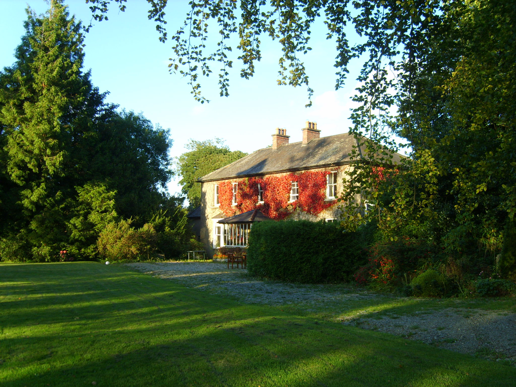 Knockroe Housefarm house · 501 yd
 Site of CastleCastle, unclassified · 1092 yd
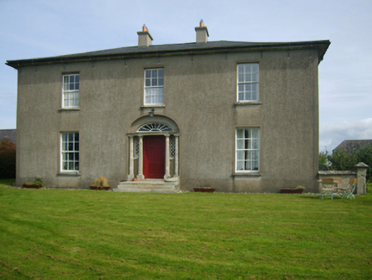 Sweetmount Housefarm house · 1204 yd
 Castle (in ruins)Castle, unclassified · 1647 yd
 TobercarrigeenHoly well · 1.1 mi
 Forest Of The DunbrodyForest · 1.3 mi
 Lacken HillMountain / peak · 1.4 mi
 Silver WattleSilver Wattle · 3.8 mi
 Crutched FriarsMemorial · 3.9 mi
 Carrickbyrne HillMountain / peak · 4.7 mi
 Graveyard in St. Mullin'sGraveyard · 5.7 mi