
What is recorded here
Described in gothic script as Tobercarrigeen - the well of the little rock - on the 1839 and 1940 eds of the OS 6-inch map. It is located just NW of a col between Lacken Hill c. 700m to the SW of the col and another hill c. 700m to the N. It is also at the head of a SE-NW valley. This is a natural spring at the base of rock outcrop that lies to the E. There is no evidence of a structure or that it was ever venerated, but it is the source of a stream that runs off to the NW. Rath (WX029-017----) is c. 150m to the W.
Compiled by: Michael Moore
Date of upload: 1 August, 2012
A local holy well or ritual site; wider significance not recorded.
The monument record does not grant public access. Check the route and ask the landowner before entering private land.
- What survives
- Recorded monument
Places near here
 Embanked enclosureFairy fort / earthen ringfort · 190 yd
 Forest Of The DunbrodyForest · 413 yd
 Site of CastleCastle, unclassified · 584 yd
 1798 MonumentMonument · 689 yd
 Lacken HillMountain / peak · 692 yd
 Castle (in ruins)Castle, unclassified · 1289 yd
 Newtown Housefarm house · 1327 yd
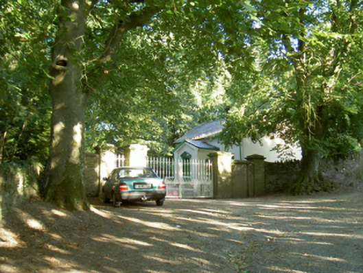 Berkeley Forest Housegates/railings/walls · 1347 yd
 Crutched FriarsMemorial · 2.9 mi
 Silver WattleSilver Wattle · 4.4 mi
 Carrickbyrne HillMountain / peak · 4.8 mi
 Kennedy HomesteadHeritage attraction · 5.9 mi
Other information
Photo: Credit not shown in the picture search · Rights wording not checked; contact us if this picture should be removed