What is recorded here
A map in Smith's 'History of County Kerry' (1756, 74) indicates 'fish houses' at Collorus. These fish palaces have not been precisely located and are not known locally.
The above description is derived from the published 'Archaeological Inventory of County Kerry. Volume I: South-West Kerry' (Dublin: Stationery Office, 2009). In certain instances the entries have been revised and updated in the light of recent research.
Date of upload: 30 May 2011
The monument record does not grant public access. Check the route and ask the landowner before entering private land.
- What survives
- Recorded monument
Places near here
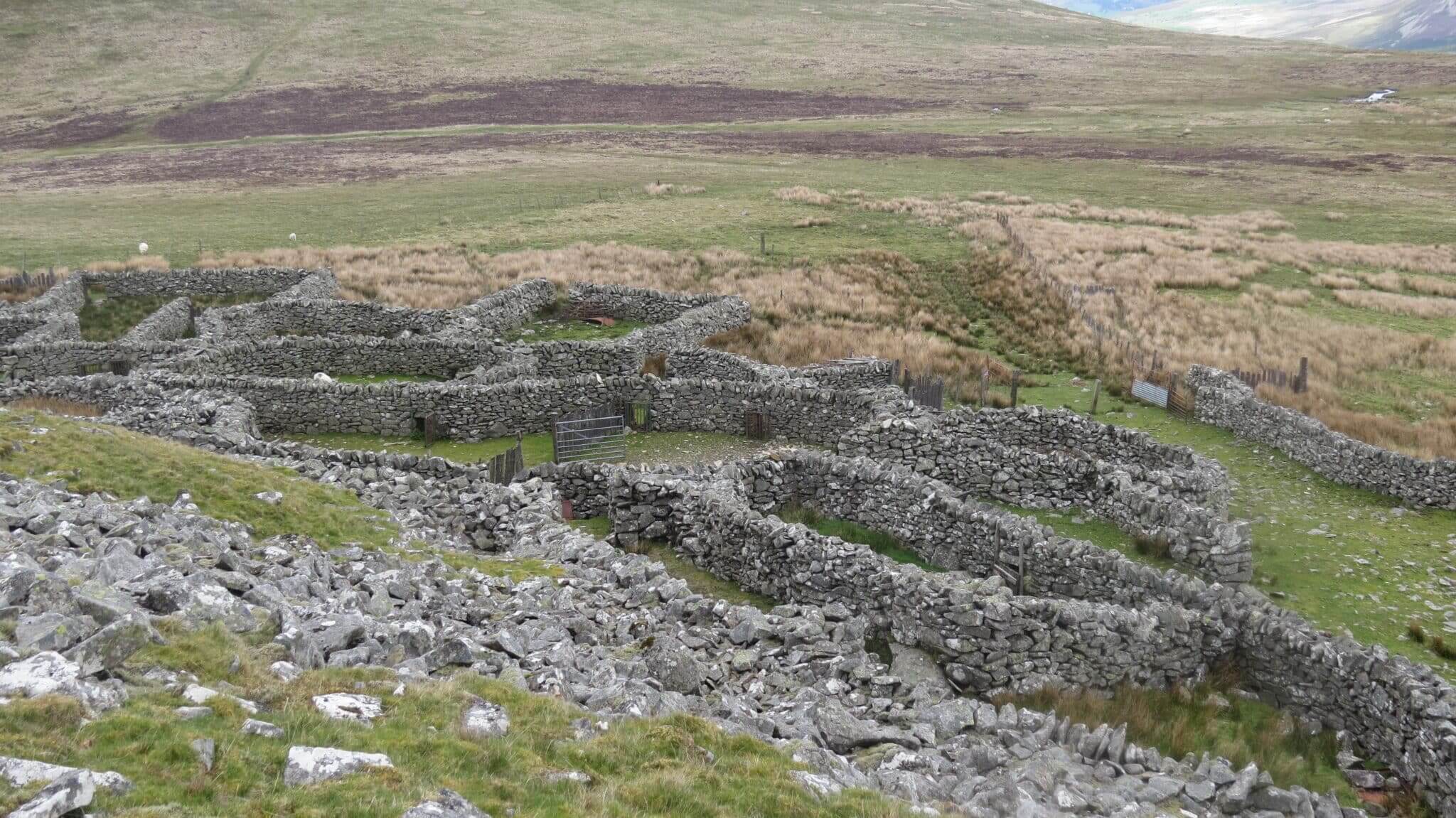 SheepfoldsEnclosure · 813 yd
 Drung HillMountain / peak · 1320 yd
 Bird IslandIslet · 1511 yd
 Eskadawer Br.Bridge · 1.2 mi
 Keeragh MountainMountain / peak · 1.3 mi
 Glashananinnaun Br.Bridge · 1.3 mi
 StonecircleArchaeological place · 1.5 mi
 Ardgroom Pulleen LoopWalking route · 2.3 mi
 Rossdohan IslandIsland · 2.6 mi
 Habitat of DerreeniesNature reserve · 2.7 mi
 Japanese cedarJapanese cedar · 2.7 mi
 Coral BeachBeach / strand · 4.6 mi