
What is recorded here
The remains of a cruciform passage tomb survive here. The end chamber, to the N, the western side chamber and part of the opposed eastern side chamber are exposed. The endchamber is c. 1.5m long internally and widens from lm at its outer end to 1.5m near the backstone. The western side chamber is c. lm long and 0.8m…
Read the whole record
From the National Monuments Service (Archaeological Survey of Ireland) record DG107-106
Places near here
Photo credits
- Maker not stated on source page, commons.wikimedia.org
- Maker not stated on source page, www.tripadvisor.ca
- Maker not stated on source page, monumentalireland.ie
- louise price, Wikimedia Commons · CC BY-SA 2.0
- Maker not stated on source page, en.wikipedia.org
- Jonathan Wilkins, Wikimedia Commons · CC BY-SA 2.0
- Jonathan Wilkins, Geograph · CC BY-SA 2.0
- N Chadwick, Wikimedia Commons
- Discover Ireland; photographer not stated, Discover Ireland
- National Inventory of Architectural Heritage
- Kenneth Allen, Geograph · CC BY-SA 2.0
 Court tomb in FinnerCourt tomb · 94 yd
Explorer Tom Court tomb in Finner is effectively gone, likely buried under sand or the military camp that swallowed the townland. We…
 Holy well in FinnerHoly well · 94 yd
Explorer Tom Holy well in Finner is officially unlocated, though a 1936 record says it was near Fennor Church. That’s like being…
 Passage tomb in FinnerPassage tomb · 94 yd
Explorer Tom Passage tomb in Finner has been dug up for wall stones, so it’s just a ghost of a structure now. Wakeman sketched a…
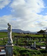 Finner Old GraveyardGraveyard · 667 yd
Explorer Tom Finner Old Graveyard is shaped like a D but apparently never finished its full circle. I bet whoever started that wall…
 Mapped cemeteryCemetery · 673 yd
Explorer Tom Mapped cemetery hates visitors who walk in with their phones out, treating every step like they’re posting a story…
 Cliffs by BundoranPublicly named cliff or headland · 1197 yd
Explorer Tom Cliffs by Bundoran were built on a bargain where the ocean promised not to eat the land if the land agreed to look…
 Tullan StrandBeach / strand · 1224 yd
Explorer Tom Tullan Strand gives Bundoran two kilometres of sand, rolling surf and the Dartry Mountains lined up across the bay like…
 Fairy BrigesHeritage attraction · 1606 yd
Explorer Tom The Fairy Bridges at Bundoran have a name that sounds as if tiny engineers should be waiting with a toll box, but the…
 Wishing ChairHeritage attraction · 1628 yd
Explorer Tom Bundoran's Wishing Chair is a stone seat beside the sea, close to the Fairy Bridges, with a view so good that I nearly…
 post box1.0 mi
Explorer Tom Post box in Finner does weird aerobics when nobody is looking because it has no royal cipher to show off, so it’s…
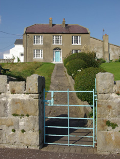 MarleyHouse · 1.1 mi
Explorer Tom Marley in Finner sports those ornate hooped wrought-iron gates that look like giant metal pretzels. I picture a very…
 The Phoenix TavernPub · 1.2 mi
Explorer Tom The Phoenix Tavern in Bundoran rises from the ashes of bad decisions daily, fueled by local gossip and questionable…
More archaeology and monuments in County Donegal · All of County Donegal

What do you know about this place?Tap to add a comment or ask a question