
What is recorded here
Situated on SW facing slope of Bawnloge Hill in rough mountainous pasture with good views of valley below from E through S to W and higher land to N and NE. A large complex of grass-covered field walls [Wall T 0.6m; H 0.3m) runnning from E-W and N-S across the SW facing slope of Bawnloge Hill forming several fields…
Read the whole record
From the National Monuments Service (Archaeological Survey of Ireland) record DG029-052
Places near here
Photo credits
- Maker not stated on source page, commons.wikimedia.org
- Maker not stated on source page, www.flickr.com
- Maker not stated on source page, au.pinterest.com
- National Inventory of Architectural Heritage
- Maker not stated on source page, www.pinterest.ru
- Dr Neil Clifton, Geograph · CC BY-SA 2.0
- David Dixon, Geograph · CC BY-SA 2.0
- Maker not stated on source page, www.revisitinghistory.com
- Maker not stated on source page, www.practicalcaravan.com
- Richard Webb, Wikimedia Commons · CC BY-SA 2.0
- Picture: Wild Ireland
 Standing stone in MeenkeeraghStanding stone · 1075 yd
Explorer Tom Standing stone in Meenkeeragh is just one stone left standing because its partner apparently ran off with a better rock…
 Meenkeeragh Wedge TombWedge tomb · 1170 yd
Explorer Tom Meenkeeragh Wedge Tomb has an absolutely killer view down the Owenkillew River to Lough Swilly. The front is pretty…
 Standing stone in Meenkeeragh,bauville Keeloges and ClonglashStanding stone · 1399 yd
Explorer Tom Standing stone in Meenkeeragh, Bauville Keeloges AND Clonglash has vanished into thin air. There’s no trace of the…
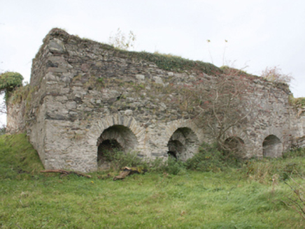 kiln1.1 mi
Explorer Tom Kiln in Bauville Keeloges and Clonglash is proud of being the only thing that didn’t burn down during the big argument…
 Cockhill GraveyardGraveyard · 2.7 mi
Explorer Tom Cockhill Graveyard is home to a giant who allegedly stole a cow and hid it under the chapel roof. Nobody has found the…
 St. Mary’s Catholic ChurchChurch/chapel · 2.8 mi
Explorer Tom St. Mary’s Catholic Church is a proper show-off, built c. 1848 with a sacristy that looks suspiciously like it wanted…
 Fahan GraveyardGraveyard · 3.8 mi
Explorer Tom Fahan Graveyard holds a cross-slab that measures exactly 2.1m high and only 0.18m thick, yet its top is deliberately…
 LisfannonOfficial bathing water · 3.9 mi
Explorer Tom Lisfannon Beach has a good trick: it makes you walk through low dunes before it shows you the full width of Lough…
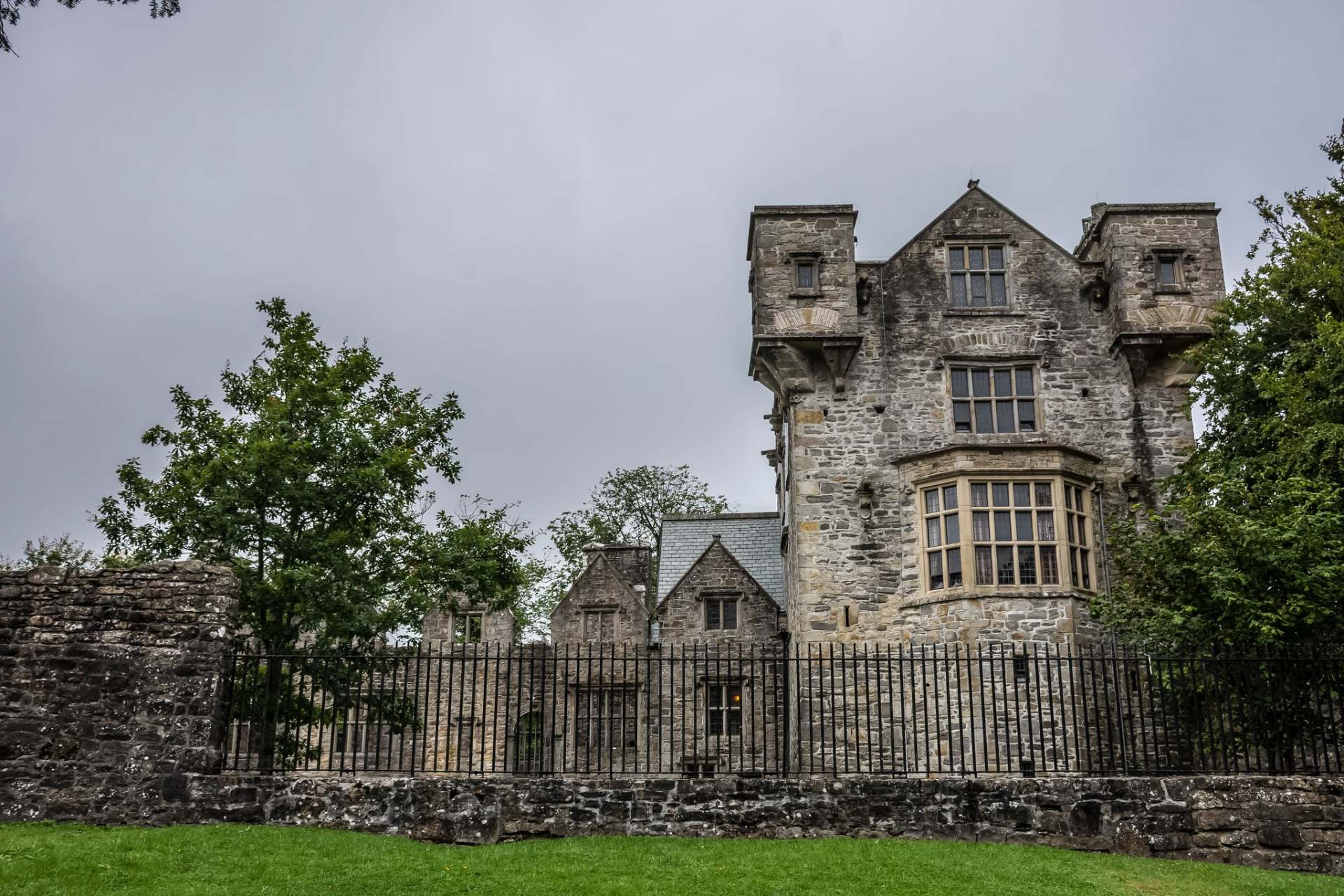 CastletownCastle, tower house · 4.2 mi
Explorer Tom Castletown used to be Fahan Castle, but it vanished so thoroughly that digging for it in 2007 found nothing but clay…
 Brown ShoreBeach / strand · 4.6 mi
Explorer Tom Brown Shore in County Donegal has a five-year retirement plan that involves turning completely gold and moving to the…
 Slieve MainMountain / peak · 4.7 mi
Explorer Tom Slieve Main is recorded as a mountain / peak in County Donegal, and it looks like a solid, reliable sort of hill. I…
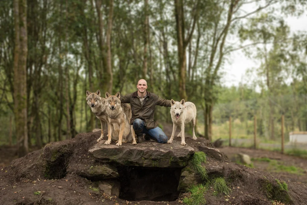 Wild IrelandWildlife sanctuary and family attraction · 5.3 mi
Explorer Tom Wild Ireland near Burnfoot gives you the rare Donegal dilemma of looking for bears and finding yourself just as…
More archaeology and monuments in County Donegal · All of County Donegal

What do you know about this place?Tap to add a comment or ask a question