What is recorded here
Standing stone in Meenkeeragh: one stone remains where maps claimed two, its lost partner erased from the bog or never real at all. The surviving block rises seventy-five centimetres through mountain damp, thin as a door and broad enough to mark a line across the land. Whoever set it there may have believed the second stone was needed to complete the shape, while the bog took one back again.
A standing stone .75m high × 0.9m wide at base × 0.13m thick; NW-SE. The 2nd and 3rd editions of the OS 6-inch maps show two stones here but there is no visible trace of the second stone. Situated on mountain bog land.
The above description was derived from the 'Archaeological Survey of County Donegal. A description of the field antiquities of the County from the Mesolithic Period to the 17th century.' Compiled by: Brian Lacey with Eamon Cody, Claire Cotter, Judy Cuppage, Noel Dunne, Vincent Hurley, Celie O'Rahilly, Paul Walsh and Seán Ó Nualláin (Lifford: Donegal County Council, 1983). In certain instances the entries have been revised and updated.
Date of upload: 22 September 2008
This remains an important historical record, but the official description says the monument is no longer visible or has been destroyed. The monument record does not grant public access. Check the route and ask the landowner before entering private land.
- What survives
- No visible remains or recorded as destroyed
Places near here
 Former Tullydush Lower Fairy FortFairy fort / ringfort · 1499 yd
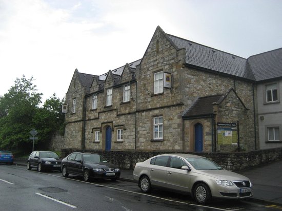 Tullydush Lower EnclosureEnclosure · 1654 yd
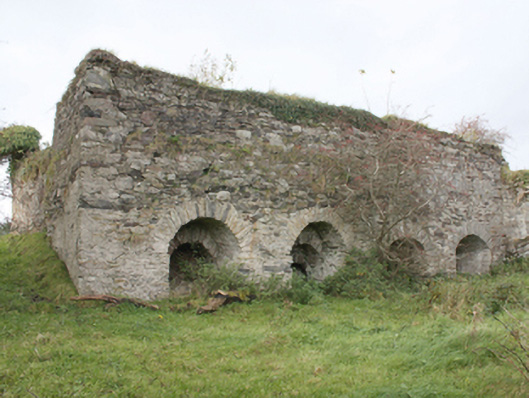 kilnkiln · 1.2 mi
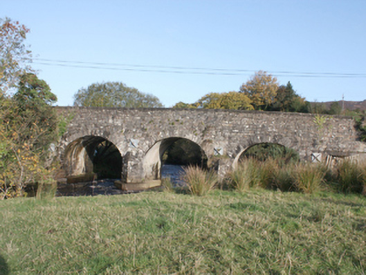 Druminderry Bridgebridge · 1.8 mi
 Scalp MountainMountain / peak · 2.7 mi
 Lady's Bay, BuncranaOfficial bathing water · 3.2 mi
 O'Doherty's KeepCastle · 3.3 mi
 Neds Point FortFort · 3.8 mi
 Slieve MainMountain / peak · 4.2 mi
 LisfannonOfficial bathing water · 4.4 mi
 Eskaheen GraveyardGraveyard · 4.8 mi
 Muff ForestWoodland walk · 4.9 mi