What is recorded here
Situated on rock outcrop on an E-facing slope with the headwaters of a small N-S stream c. 50m to the NE. It is depicted as a circular hachured feature (diam. c. 50m) only on the 1907 edition of the OS 6-inch map. Because of the rock outcrop base this is the only area in the vicinity where a relict field system survives, covering less than 1 hectare. The fields (dims c. 10m x c. 15m to c. 30m) are defined by grass-covered stone spreads (Wth c. 2-3m; H 0.2-0.4m) with fairly large stones. The W edge of the area is provided by a wider spread (Wth c. 7m; H 1-1.4m) that might be the result of ancient damage. A lane (Wth 2-3m) with relict walls on either side sweeps from the SW edge E and N to the top of a steep N-facing slope. There are no house sites within the system, and there is no evidence of spade cultivation.
The above description is derived from 'The Archaeological Inventory of County Leitrim' compiled by Michael J. Moore (Dublin: Stationery Office, 2003). In certain instances the entries have been revised and updated in the light of recent research.
Compiled by: Michael Moore
Date of revision: 9 December 2019
The monument record does not grant public access. Check the route and ask the landowner before entering private land.
- What survives
- Recorded monument
Places near here
 St. Patricks WellHoly well · 1012 yd
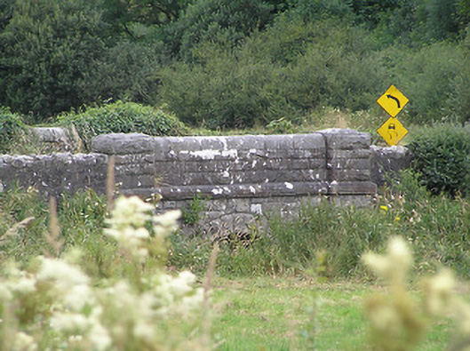 Drumury Bridgebridge · 1.2 mi
 CornaferstMountain / peak · 1.6 mi
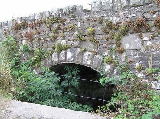 bridgebridge · 1.8 mi
 European YewEuropean Yew · 1.9 mi
 IndicatedEnclosure · 2.0 mi
 DrumbreanlisMountain / peak · 2.2 mi
 North Midland Transport CollectionMuseum · 2.7 mi
 King's GraveArchaeological place · 2.9 mi
 Ticosker WoodWood · 3.4 mi
 Giant's GraveArchaeological place · 4.2 mi
 CastleBawn · 5.2 mi