What is recorded here
From the National Monuments Service (Archaeological Survey of Ireland) record DU008-121
Places near here
Photo credits
- National Inventory of Architectural Heritage
- Maker not stated on source page, en.wikipedia.org
- Dvcireland, Wikimedia Commons · CC BY-SA 4.0
- Maker not stated on source page, blogs.stthomas.edu
- Maker not stated on source page, www.alamy.com
- Maker not stated on source page, www.ireland.com
 post box1425 yd
Explorer Tom Post box in Corduff Common is stuck in the gate pier of a big house. It has an ER VII monogram and looks very…
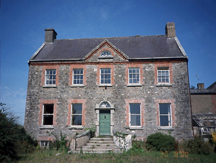 Corduff HouseFarm house · 1596 yd
Explorer Tom Corduff House has strict rules for visitors: no touching the Diocletian window and definitely no asking why there are…
 farm house1.1 mi
Explorer Tom Farm house in Corduffhal is an 1850 thatched farmhouse with distinctive curving hip ends on the roof, which makes it…
 water pump1.1 mi
Explorer Tom Water pump in Corduff has its name written all over it! Tonge & Taggart Ltd., Dublin, right there on the side. Built…
 Earthwork in Belinstown (nethercross By.)Earthwork · 1.1 mi
Explorer Tom Earthwork in Belinstown is a circular cropmark that only shows up when the weather is right. It’s basically a secret…
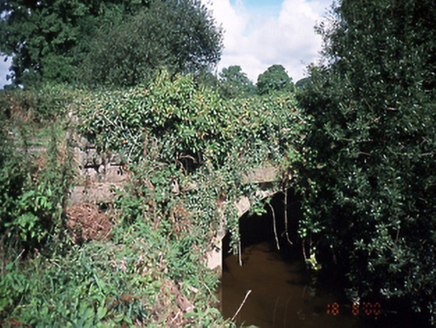 bridge1.3 mi
Explorer Tom Bridge in Gracedieu is where a local legend says smugglers used to hide contraband inside the limestone, right under…
 Catholic Church of the Immaculate ConceptionChurch/chapel · 1.9 mi
Explorer Tom Immaculate Conception Church in Balheary has a hidden message in its stones that only shows up when you squint really…
 Murray's BridgeBridge · 2.0 mi
Explorer Tom Murray's Bridge in Balheary is double-span and old, from 1780. One side was altered recently, so it’s mixing eras. It’s…
 Holy well in Finglas East,finglas WestHoly well · 2.4 mi
Explorer Tom Holy well in Finglas East, Finglas West is mentioned by Dr. Rutty but hasn't been found yet, which means it's probably…
 Church in Kilmore Big,kilmore LittleChurch · 2.4 mi
Explorer Tom Church in Kilmore Big, Kilmore Little is a complete mystery to me. The Civil Survey mentioned ruined walls, and some…
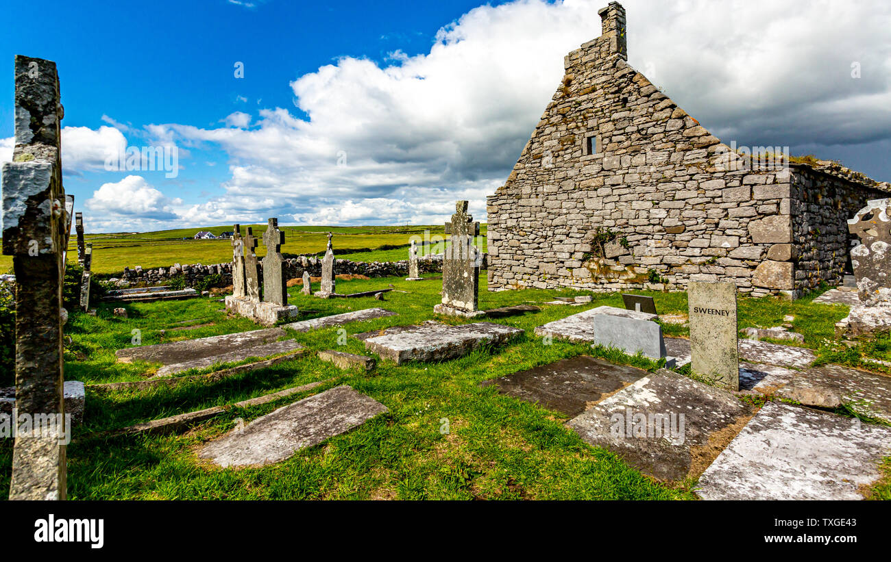 Killossary Graveyard (old Rolestown)Graveyard · 4.2 mi
Explorer Tom Killossary Graveyard would describe the 1800s to a teenager as 'the era before wifi but with better coats,' which is…
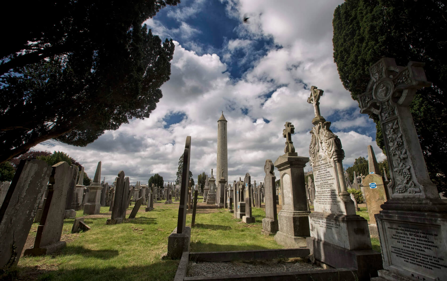 Graveyard in BaldonganGraveyard · 4.7 mi
Explorer Tom Graveyard in Baldongan is sitting on a hilltop refusing to fall down because it thinks gravity is just a suggestion for…
More archaeology and monuments in County Dublin · All of County Dublin

What do you know about this place?Tap to add a comment or ask a question