What is recorded here
In pasture, locating on a low N-S ridge. the E side of the ridge drops into the Easkey River valley, and the W slopes to the shores of Lough Ioe. This record was not listed in the SMR (1989). It was listed in the RMP (1995) as ‘field system -pre-bog’: the source of this record is unknown and there is no field report from the 1990’s on file. The location was inspection in 2014. The RMP (1995) co-ordinates place it roughly in the centre of a large, modern rectangular field, bordered at E by a N–S road. The W half of the field slopes down to the lake shore. Adjoining properties to N and S area are covered in blanket bog. This field has been reclaimed and converted to good pasture. There is no visible trace of an ancient field system. It is likely that it was destroyed during reclamation works.
Compiled by: Jane O'Shaughnessy
Date of upload: 15 August 2014
This remains an important historical record, but the official description says the monument is no longer visible or has been destroyed. The monument record does not grant public access. Check the route and ask the landowner before entering private land.
- What survives
- No visible remains or recorded as destroyed
Places near here
 Giant's GriddleArchaeological place · 1278 yd
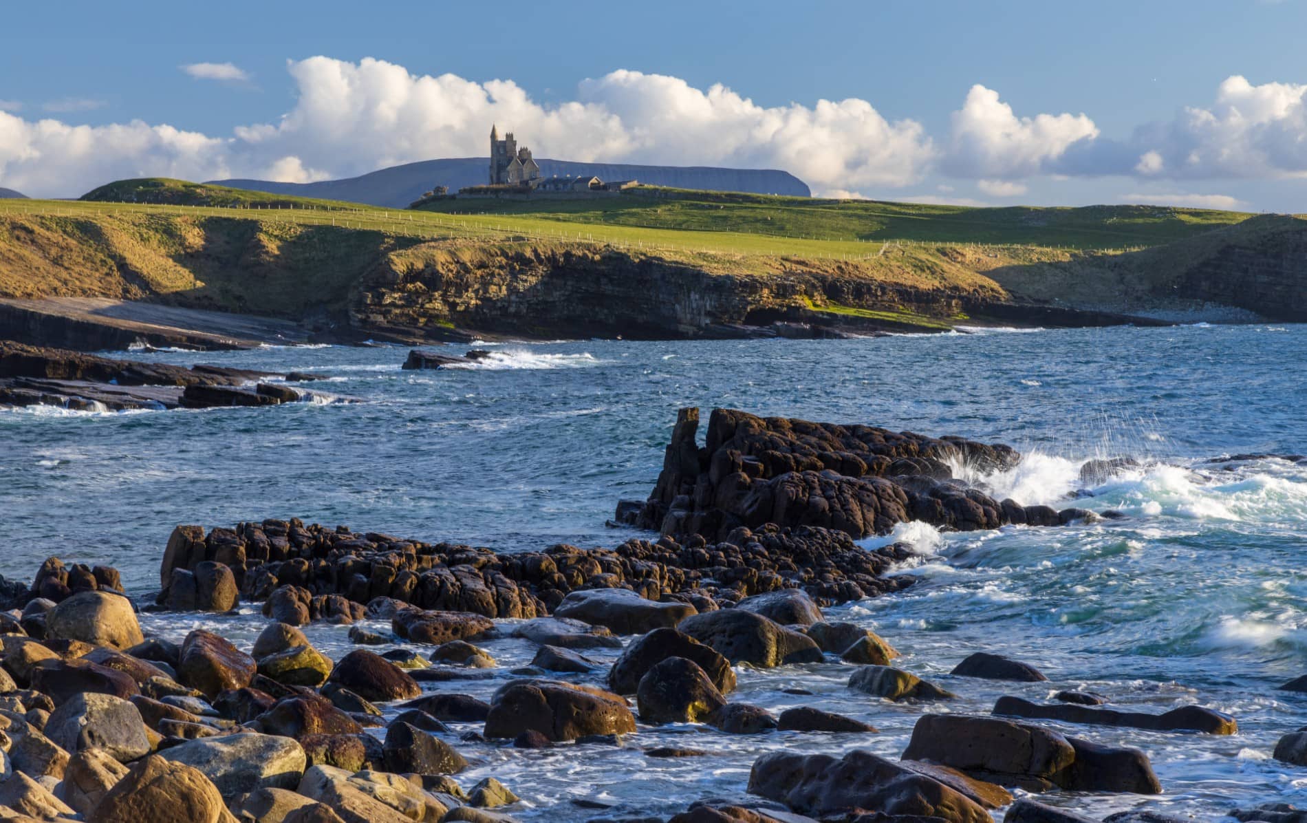 IndicatedEnclosure · 1.2 mi
 CastleCastle, unclassified · 1.8 mi
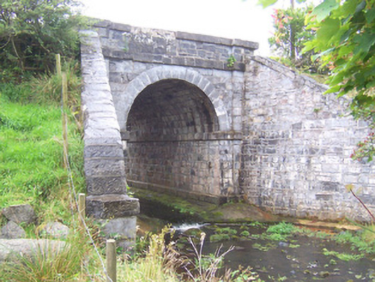 bridgebridge · 2.3 mi
 Camphill Househouse · 3.1 mi
 Ballynahowna CastleCastle, tower house · 3.9 mi
 MeenamaddoMountain / peak · 4.2 mi
 Sruffaungarve TopMountain / peak · 5.0 mi
 White RockNamed rock · 5.1 mi
 Split RockNamed rock · 5.6 mi
 Grave of the Black PigArchaeological place · 6.1 mi
 Wild Atlantic Way: Inishcrone PierVisitor information · 6.7 mi