What is recorded here
In a forestry plantation, situated in level, poorly drained land adjacent to the NE bank of the Easky River. Depicted as a circular enclosure (diam. c. 15-20m) on the 1837 edition of the OS 6-inch map, and not shown on the 1913 edition. Dense tree cover impeded an inspection in 1993 and no trace of this possible enclosure was found.
Compiled by: Patrick F. O'Donovan
Date of upload: 19 January 2011
A local fairy fort (ringfort/rath); wider significance not recorded.
The monument record does not grant public access. Check the route and ask the landowner before entering private land.
- What survives
- Recorded monument
Places near here
 Giant's GriddleArchaeological place · 1468 yd
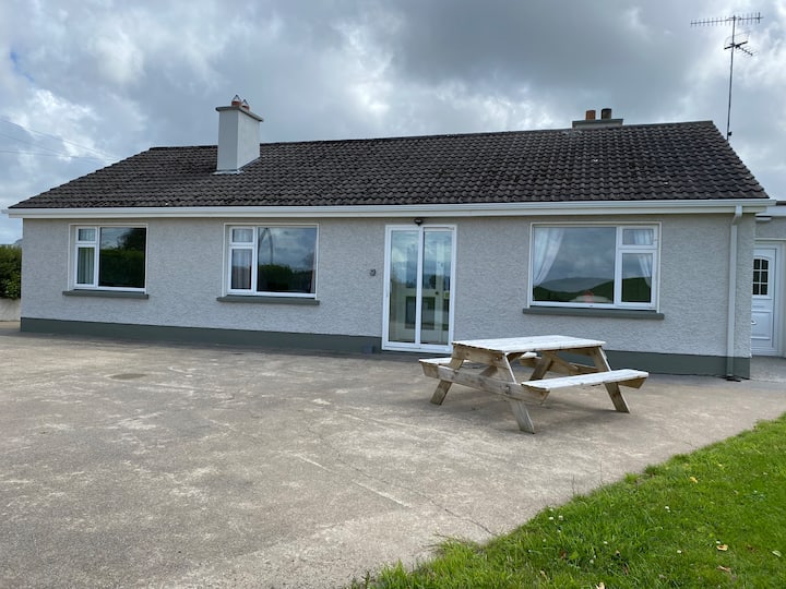 Habitation site in BuncroweyHabitation site · 1738 yd
 CastleCastle, unclassified · 1.7 mi
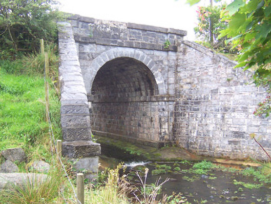 bridgebridge · 1.9 mi
 Camphill Househouse · 1.9 mi
 Ballynahowna CastleCastle, tower house · 2.8 mi
 Split RockNamed rock · 4.5 mi
 DonaghHeadland · 4.8 mi
 MeenamaddoMountain / peak · 5.0 mi
 Sruffaungarve TopMountain / peak · 5.3 mi
 Jim Smith MemorialMemorial · 5.7 mi
 Wild Atlantic Way: Easky PierVisitor information · 5.8 mi
Other information
Photo: Credit not shown in the picture search · Rights wording not checked; contact us if this picture should be removed