
What is recorded here
Locating in an area of cutaway blanket bog, with scattered, active areas of small-scale machine turf harvesting, on a broad, flat-topped N–S ridge. The E side of the ridge falls into the Easkey River valley. This record was not listed in the SMR (1989). It was listed in the RMP (1995) as ‘field system -pre-bog’ but no…
Read the whole record
From the National Monuments Service (Archaeological Survey of Ireland) record SL017-082
Places near here
Photo credits
- Maker not stated on source page, www.alamy.com
- Maker not stated on source page, ru.wikipedia.org
- Maker not stated on source page, www.pinterest.com
- Maker not stated on source page, en.wikipedia.org
- Maker not stated on source page, ca.pinterest.com
- National Inventory of Architectural Heritage
- Mick Garratt, commons.wikimedia.org
- Castleconnor GAA Club drone footage; individual camera operator not stated, castleconnor.sligo.gaa.ie
- Maker not stated on source page, uk.pinterest.com
- Maker not stated on source page, au.pinterest.com
 Megalithic tomb in TawnatruffaunMegalithic tomb · 1564 yd
Explorer Tom Megalithic tomb in Tawnatruffaun loves singing 'You Are My Sunshine' because it thinks the stones are actually suns.…
 Enclosure in Caltragh (tireragh By., Rathmacurkey Ed)Enclosure · 2.2 mi
Explorer Tom Enclosure in Caltragh started because two lads bet they could dig a perfect circle before the rain stopped. They lost…
 Cist in Carrowneden (tireragh By.)Cist · 5.1 mi
Explorer Tom Cist in Carrowneden is haunted by a poet who fell in the ditch nearby and never recovered his dignity. He’s still…
 Earthwork in LackanatlieveEarthwork · 5.1 mi
Explorer Tom Earthwork in Lackanatlieve was once run by a matchmaker who paired off locals based on how loud they coughed. The whole…
 TombTomb, unclassified · 5.3 mi
Explorer Tom Tomb in Kilglass has the local sheep giving it a hard time about taking up too much space on the hillside while they…
 CastleCastle, unclassified · 5.5 mi
Explorer Tom Castle in Kilglass would post a selfie with the caption 'Living my best life' right now. It’s based on a land grant…
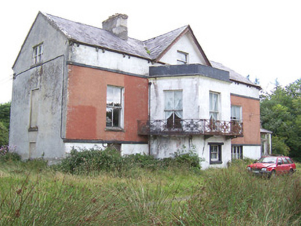 Kilglass HouseHouse · 5.6 mi
Explorer Tom Kilglass House had a fox take charge of the kitchen last winter and it never gave up the position since. The cast-iron…
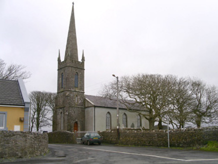 Kilglass ChurchChurch/chapel · 5.6 mi
Explorer Tom Kilglass Church in Kilglass is locked in a bitter feud with the rain, claiming it can handle the weather better than…
 Enniscrone/Kilglass GAA pitchGAA ground · 5.7 mi
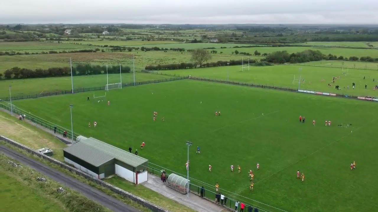 St. Brendan's Park, Castleconnor GAAGAA ground · 5.8 mi
 Bush IslandIslet · 27 mi
Explorer Tom This third Bush Island in County Mayo is listening to what the seagulls say about its character, which isn’t kind.…
 Coarse IslandIslet · 27 mi
Explorer Tom Coarse Island would complain to the council that its name is too literal for a tourist destination. It’s got that…
More archaeology and monuments in County Sligo · All of County Sligo

What do you know about this place?Tap to add a comment or ask a question