
What is recorded here
Situated in very low-lying terrain, dissected by drains. Aerial photographs taken in 1971 (FSI 2.411/10) show a series of linear trenches and curving low earthworks. These may be part of a medieval open field system. Geophysical survey (Licence no. 07R156) undertaken in advance of proposed development identified subtle responses and trends may indicate agricultural activity but not its antiquity. Probable drainage features were identified.
Compiled by: Geraldine Stout
Updated by: Christine Baker
Date of upload: 22 January 2015
The monument record does not grant public access. Check the route and ask the landowner before entering private land.
- What survives
- Recorded monument
Places near here
 Enclosure in SillogeEnclosure · 240 yd
 Earthwork in MerryfallsEarthwork · 360 yd
 Horizon Logistics ParkVisitor information · 983 yd
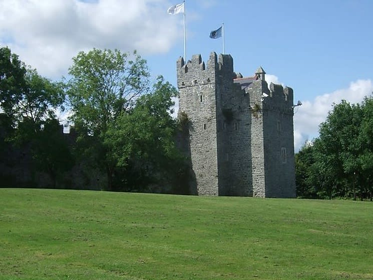 Dubber Castle (site of)Castle, unclassified · 1335 yd
 The Old Red LionInn · 1.0 mi
 BallymunVisitor information · 1.2 mi
 Liam Ó MaoilíosaMemorial · 1.6 mi
 CastleCastle, tower house · 1.7 mi
 Richard McKeeMemorial · 1.9 mi
 BaldcypressBaldcypress · 2.7 mi
 Dawn RedwoodDawn Redwood · 2.8 mi
Other information
Photo: Credit not shown in the picture search · Rights wording not checked; contact us if this picture should be removed