
What is recorded here
'These walls cover an area of approximately 2000m sq. The form of the walls can be divided into two distinct types: mound type walls, approximately 0.7m in width and 0.5m high, constructed of small rounded limestone boulders, occasional slabs and smaller stones. If this was the original height of the walls then it is…
Read the whole record
From the National Monuments Service (Archaeological Survey of Ireland) record KE068-170
Places near here
Photo credits
- Maker not stated on source page, en.wikipedia.org
- Maker not stated on source page, www.pinterest.com
- Maker not stated on source page, monumentalireland.ie
- Colin Park, Geograph · CC BY-SA 2.0
- Maker not stated on source page, ca.pinterest.com
- Maker not stated on source page, www.irelandhighlights.com
- National Inventory of Architectural Heritage
- Kmcnamee, Wikimedia Commons · CC BY-SA 4.0
- Maker not stated on source page, animalia-life.club
- Maker not stated on source page, www.istockphoto.com
 Standing stone in GortderrigStanding stone · 1458 yd
Explorer Tom Standing stone in Gortderrig is split down the middle, looking like it lost an argument with its own twin. Rumor has it…
 Fairy fort / earthen ringfort in GortderrigFairy fort / earthen ringfort · 1592 yd
Explorer Tom Fairy fort / earthen ringfort in Gortderrig is sick of being asked if it's haunted. It just wants some quiet time on…
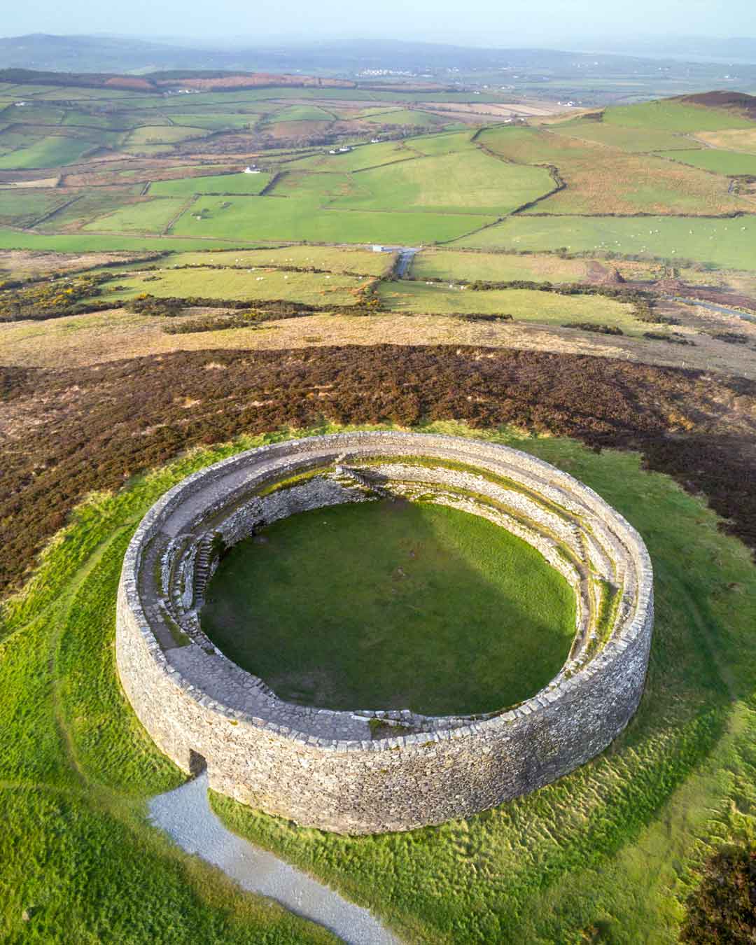 Fairy fort / earthen ringfort in Shrone MoreFairy fort / earthen ringfort · 1634 yd
Explorer Tom Fairy fort / earthen ringfort in Shrone More has a bird that refuses to leave its rubble pile. The bank is haphazard…
 Standing stone in GortacareenStanding stone · 1.4 mi
Explorer Tom Standing stone in Gortacareen was once six feet tall, which means two lads definitely bet on its height back in the day…
 The Paps WestMountain / peak · 1.5 mi
Explorer Tom The Paps West has been in a furious fairy dispute over parking rights with the clouds for the last three centuries. The…
 Standing stone in DerrymaclavlodeStanding stone · 1.8 mi
Explorer Tom Standing stone in Derrymaclavlode thinks Queen Victoria visited it once and left a coin, which she definitely didn’t.…
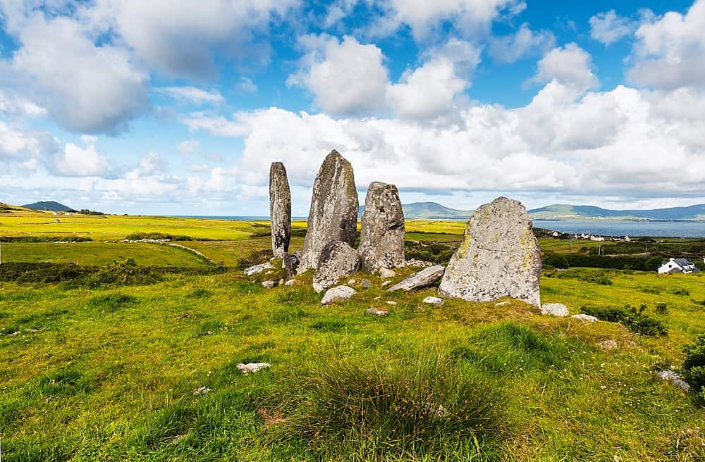 Standing stone in Annagh BegStanding stone · 3.3 mi
Explorer Tom Standing stone in Annagh Beg is jealous it doesn’t have a proper name like its famous cousin down the road. It just…
Standing stone in CoolcurtogaStanding stone · 3.5 miExplorer Tom Standing stone in Coolcurtoga is hiding in the gorse like a very prickly secret. The shortcut through there isn’t a…
 Nohoval BridgeBridge · 4.8 mi
Explorer Tom Nohoval Bridge is solid rubble with cut-stone voussoirs that probably cost a fortune back in the day. It’s a testament…
 Glenflesk GAA pitchGAA ground · 4.8 mi
 Church (Site of)Church · 5.0 mi
Explorer Tom Church in Nohaval Lower is hidden in a graveyard. The 1842 map showed ruins, but now there’s no trace at all. Just dirt…
 Church in Nohaval DalyChurch · 5.1 mi
Explorer Tom Church in Nohaval Daly is just grass-covered mounds that locals call 'The Little Church', which sounds like a pet name…
More archaeology and monuments in County Kerry · All of County Kerry

What do you know about this place?Tap to add a comment or ask a question