
What is recorded here
Situated on a slight S-facing slope. A system of fields (dims c. 60-150m N-S; c. 40-50m E-W) defined by single ditches was encountered during archaeological monitoring (15E0125) by S. McGlade in Phase 1 of the archaeological mitigation connected with a housing development (excavations.ie 2018: 032). The drains…
Read the whole record
From the National Monuments Service (Archaeological Survey of Ireland) record ME044-052
Places near here
Photo credits
- Maker not stated on source page, en.wikipedia.org
- National Inventory of Architectural Heritage
- C O'Flanagan, Geograph · CC BY-SA 2.0
- Maker not stated on source page, www.irishamericanmom.com
- Maker not stated on source page, www.gettyimages.com
- Garry Dickinson, Geograph · CC BY-SA 2.0
- Maker not stated on source page, commons.wikimedia.org
 Enclosure in Roestown (ratoath By.)Enclosure · 121 yd
Explorer Tom Enclosure in Roestown is playing hard to get. It’s buried under soil like it’s hiding from a bad date, but I bet its…
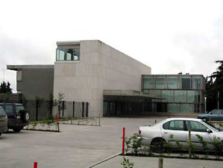 Dunshaughlin Civic OfficesOffice · 691 yd
Explorer Tom Dunshaughlin Civic Offices in Dunshaughlin thinks it’s too cool to need heating or cooling, which is bold for an office…
 outbuilding1067 yd
Explorer Tom Outbuilding in Dunshaughlin is the last survivor of an industrial complex that used to be all the rage. It’s got brick…
 Dunshaughlin CourthouseCourt house · 1216 yd
Explorer Tom Dunshaughlin Courthouse is where two families are still arguing over who owns the view from the front garden. Francis…
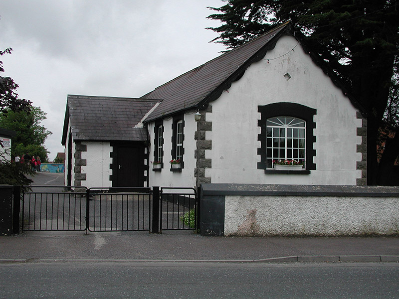 Dunshaughlin National SchoolSchool · 1255 yd
Explorer Tom Dunshaughlin National School in Dunshaughlin is built on top of a legend about a giant who lost his keys. The 1887 date…
 water pump1275 yd
Explorer Tom Water pump in Dunshaughlin is standing on Main Street looking all decorative with its banding and fluting. It used to…
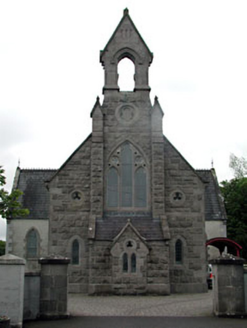 Dunshaughlin LibraryChurch/chapel · 1335 yd
Explorer Tom Dunshaughlin Library is actually a church that got confused about its career path. It would survive a zombie attack by…
 Fairy fort / earthen ringfort in DunshaughlinFairy fort / earthen ringfort · 1412 yd
Explorer Tom Fairy fort / earthen ringfort in Dunshaughlin witnessed a love story that ended with someone throwing a shoe. It landed…
 Seachnall HouseStables · 1580 yd
Explorer Tom Seachnall House stables in Dunshaughlin were built on a bargain where a horse traded bricks for a nap. The red brick…
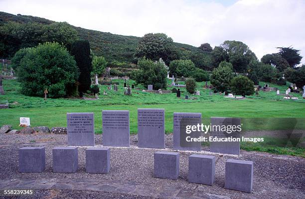 Famine GraveyardGraveyard · 1.8 mi
Explorer Tom Famine Graveyard is where I think the mapmaker accidentally swapped it with a field somewhere else, so it ended up in…
 Skreen CastleCastle, tower house · 4.6 mi
Explorer Tom Skreen Castle is overhearing every secret the walls have swallowed over the centuries and judging your life choices…
 St. Munnas GraveyardGraveyard · 5.4 mi
Explorer Tom St. Munnas Graveyard in County Meath would review its own visitors with two stars for 'too noisy' and one for 'bad…
More archaeology and monuments in County Meath · All of County Meath

What do you know about this place?Tap to add a comment or ask a question