What is recorded here
Located on the SE-facing slope of a NW-SE spur. Traces of a field system were uncovered in soil stripping (03E1300) in advance of an extensive housing development (Wallace 2003). The fields are small rectangular areas (dims c. 30-40m x c. 30-40m) defined by single ditches, and cover an area (dims c. 150m NW-SE; c. 100m NE-SW) extending SE from the burial ground (ME044-044006-). One drain with an opening cuts the large ring-ditch (ME044-044005-). A gap in the field drain here was excavated, and the terminals were filled with angular fist-sized stones. A large quantity of animal bones, including two boar’s tusks, were recovered from this fill. It is possible that two field systems are represented as wider drains (Wth c. 2m) survive closer to the burial ground (ME044-044003-), some probably attaching to its fosse but at least one cuts N-S through the E part of the interior. These fields are larger (dims c. 70m x c. 30m). (Wallace 2003; 2006a)
Compiled by: Michael Moore
Date of upload: 14 September 2020
The monument record does not grant public access. Check the route and ask the landowner before entering private land.
- What survives
- Recorded monument
Places near here
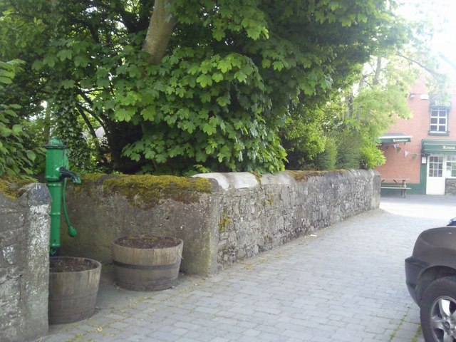 Enclosure in RatoathEnclosure · 123 yd
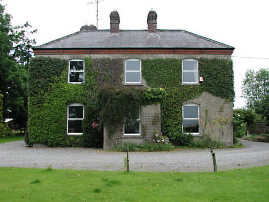 Park Househouse · 487 yd
 CrossCross, Market cross · 619 yd
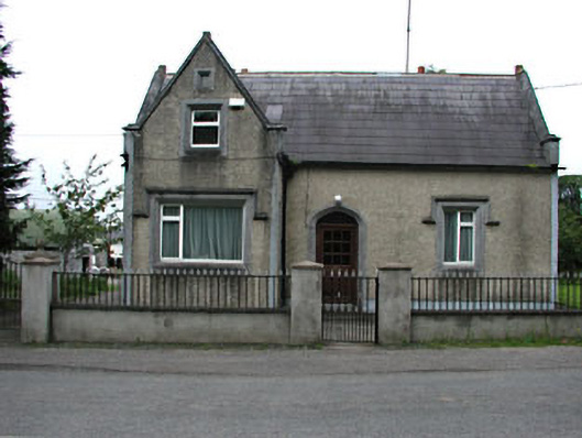 The Barrackshouse · 648 yd
 MoatCastle, motte and bailey · 814 yd
 CastleCastle, unclassified · 2.0 mi
 Lemur WoodWood · 2.4 mi
 Emerald ParkHeritage attraction · 2.5 mi
 AshbourneMemorial · 3.7 mi
 Newtown HillMountain / peak · 3.9 mi
 Cornstown HouseHeritage attraction · 4.0 mi
 Caulstown Christmas Tree FarmForest · 4.4 mi