What is recorded here
Situated on a fairly level landscape. The cropmark ditches of a fairly regular field system covering about 30 acres (c. 12ha) are visible on the OSI series of aerial photographs (1995). They form fairly large fields (dims c. 100m x c. 50m) and are defined by single ditch features. Some of the ditches run nearly parallel with existing field banks, and the fields are probably 18th century in date. The possible barrows (LH019-014001-; LH019-014002-) (Buckley 1987) are within the area but are not visible.
Compiled by: Michael Moore
Date of upload: 19 December, 2014
The monument record does not grant public access. Check the route and ask the landowner before entering private land.
- What survives
- Recorded monument
Places near here
 Enclosure in PortEnclosure · 538 yd
 Enclosure in Nicholastown (ferrard By.)Enclosure · 697 yd
 Church (in ruins)Church · 958 yd
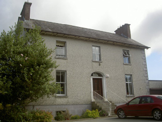 Seaview Househouse · 1529 yd
 IndicatedCastle, tower house · 1.8 mi
 Graveyard in DysartGraveyard · 2.6 mi
 Moneyveg WoodForest · 2.6 mi
 Sweet baySweet bay · 2.9 mi
 BarmeathCastle, tower house · 2.9 mi
 Tullydonnell HillMountain / peak · 3.1 mi
 Chapel (in Ruins), GraveyardChurch · 3.2 mi
 MonasterboiceEarly monastic site · 7.3 mi