What is recorded here
This field system is located in improved pasture S of Carrickgollogan with views S to the Sugar Loaf Mountain. The site was cleared c. 1950 leaving no visible trace at ground level. An aerial photograph (CUCAP, BDP 22) shows linear cropmarks to the SE of the levelled enclosure which may be part of an associated field system. Archaeological test excavation of the site was undertaken in 2002 as part of an assessment for the proposed new Dún Laoghaire Golf Course. Medieval pottery was found in the fill of the fosses (Byrne 2004, 181-182).
Compiled by: Geraldine Stout and Padraig Clancy.
Revised upload on: 21 April 2018.
This remains an important historical record, but the official description says the monument is no longer visible or has been destroyed. The monument record does not grant public access. Check the route and ask the landowner before entering private land.
- What survives
- No visible remains or recorded as destroyed
Places near here
 IndicatedFairy fort / ringfort · 1 yd
 Enclosure in PhrompstownEnclosure · 420 yd
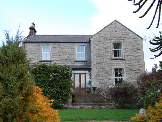 Scalp Farmfarm house · 577 yd
 Phrompstown Housefarm house · 588 yd
 Barnaslingan - Pine loop trailWalking route · 663 yd
 Carrickgollogan HillMountain / peak · 741 yd
 Barnaslingan - Scalp Lookout TrailWalking route · 790 yd
 Barnaslingan HillMountain / peak · 856 yd
 Ballycorus castle Site ofCastle, tower house · 1335 yd
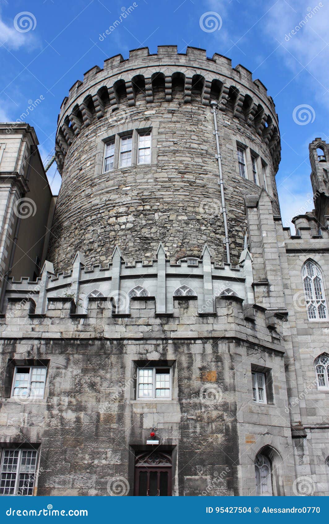 CastleCastle, tower house · 1533 yd
 Graveyard in BallymanGraveyard · 1.1 mi
 Ballybetagh WoodForest · 1.2 mi