
What is recorded here
Detached five-bay two-storey farmhouse, extant 1837, on a T-shaped plan with single-bay (single-bay deep) full-height central return (north). Occupied, 1911. Now disused. Pitched slate roof on a T-shaped plan on collared timber construction centred on pitched slate roof (north), clay ridge tiles, lichen-covered rendered coping to gables with rendered chimney stacks to apexes having stringcourses below capping supporting terracotta tapered pots, and cast-iron rainwater goods on roughcast eaves with downpipes now missing. Part creeper- or ivy-covered roughcast battered walls on rendered chamfered plinth with roughcast buttresses to side elevations. Round- or segmental-headed central door opening with overgrown threshold, and cut-granite block-and-start surround centred on keystone with fittings now boarded up. Square-headed window openings with cut-granite sills, and concealed dressings with fittings now boarded up retaining part exposed sash boxes. Set in own grounds.
A farmhouse representing an integral component of the domestic built heritage of south County Dublin with the architectural value of the composition suggested by such attributes as the symmetrical footprint centred on a Gibbsian-like doorcase demonstrating good quality workmanship; and the somewhat disproportionate bias of solid to void in the massing compounded by the uniform or near-uniform proportions of the openings on each floor. A prolonged period of unoccupancy notwithstanding, the elementary form and massing survive intact together with quantities of the original fabric, both to the exterior and allegedly to the interior, thereby upholding much of the character or integrity of a farmhouse having historic connections with the Buckley family including Samuel Buckley (d. 1894), 'Farmer late of Phrompstown County Dublin' (Calendars of Wills and Administrations 1894, 78); and William Alex Buckley (1841-1925), 'Farmer' (NA 1911).
From the Buildings of Ireland (National Inventory of Architectural Heritage) record 60260055
This does not grant access. Most recorded buildings are privately owned; view them only from public ground unless the owner allows entry.
Places near here
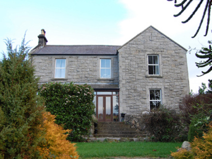 Scalp FarmFarm house · 332 yd
 Carrickgollogan HillMountain / peak · 1069 yd
 Carrickgollogan dolmen/wedge tombArchaeological place · 1094 ydBarnaslingan - Pine loop trailWalking route · 1155 ydBarnaslingan HillMountain / peak · 1218 ydCastleCastle, tower house · 1247 yd
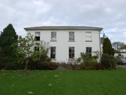 Ballyman HouseFarm house · 1260 yd
 Puck's CastleCastle · 1.5 mi
 Cross1.5 mi
 European Beech1.6 mi
 Italian maple1.9 mi
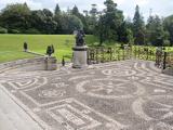 Powerscourt HouseHeritage attraction · 2.0 mi
Pictures: National Inventory of Architectural Heritage; Joe King, Wikimedia Commons · CC BY-SA 3.0; Wanfried-Dublin, Wikimedia Commons · CC BY-SA 4.0; Suckindiesel, Wikimedia Commons · CC BY 2.5; Seanief1, Wikimedia Commons · CC BY-SA 4.0; Malene Thyssen, Wikimedia Commons · CC BY-SA 3.0; Xemenendura, Wikimedia Commons · CC BY-SA 3.0; XeresNelro, Wikimedia Commons · CC BY-SA 4.0
More historic places in County Dublin · All of County Dublin
What do you know about this place?