
What is recorded here
Carrickgollogan still leans over the Loughlinstown valley, though Ballycorus castle has vanished from the grass. In the 1650s it stood as a rectangular tower beside a dwelling, belonging to a man already dead when rebellion broke. Its rooms may have echoed with arguments, feasts or fear, but no stone remains to confirm which.
The site of tower house is located on the lower NW slopes of Carrickgollogan overlooking the Loughlinstown river valley. A manuscript map accompanying the OS Memoranda shows a rectangular plan of a building and the monument is depicted on the First OS 6 inch map as a rectangular structure with divided by an internal wall. It is shown on the Down Survey (1655-6) map as a tower house. Described as a castle in the Civil survey (1654-6) the proprietor of which died a half year before the Rebellion (Simington 1945, 275). The Down Survey (1655-6) map also shows a dwelling beside the castle. It had been argued that was the 'large hall' mentioned in the Civil Survey (Simington 1945, 275), but it has since been established that this was a misreading of the reference which in fact refers to Shanganagh Castle (DU026-120----) and not to Ballycorus. There are no visible traces of this site above ground.
Compiled by: Geraldine Stout and Padraig Clancy.
Revised upload on: 15 April 2018.
Ballycorus Castle was a 16th-century tower house, likely built by a local Gaelic noble family for defensive purposes during a period of political instability. It is remembered as an example of early Irish tower house architecture and as a site of historical significance in the local landscape.
This remains an important historical record, but the official description says the monument is no longer visible or has been destroyed. The monument record does not grant public access. Check the route and ask the landowner before entering private land.
- What survives
- No visible remains or recorded as destroyed
Places near here
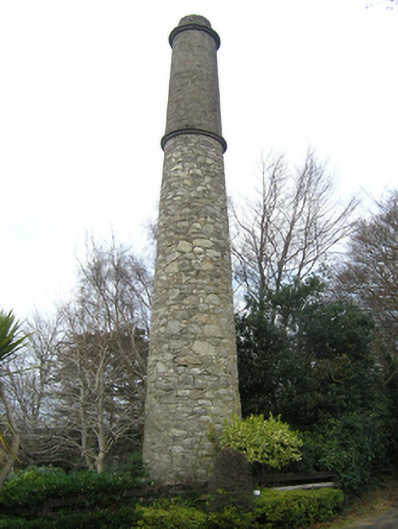 Ballycorus Shot Manufactorychimney · 135 yd
 Mining complex in BallycorusMining complex · 291 yd
 Field system in BallycorusField system · 368 yd
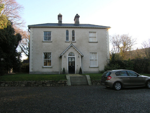 Ballycorus Grangehouse · 622 yd
 Barnaslingan - Scalp Lookout TrailWalking route · 734 yd
 Barnaslingan - Pine loop trailWalking route · 814 yd
 Barnaslingan HillMountain / peak · 1013 yd
 Puck's CastleCastle · 1354 yd
 Bawn in RathmichaelBawn · 1358 yd
 Carrickgollogan HillMountain / peak · 1534 yd
 Ballybetagh WoodForest · 1544 yd
 Dingle GlenNature reserve · 1652 yd
Other information
Photo: Credit not shown · Licence wording not shown