
What is recorded here
The field system is situated on the lower NW slopes of Carrickgollogan Mountain overlooking Loughlinstown river valley. The 1843 OS 6-inch map shows linear earthworks associated with a ringfort. A sketch plan in the OS Memoranda appears to depict a ringfort with associated field system (O'Flanagan, 1927, 39-40). The site is not visible at ground level.
Compiled by: Geraldine Stout and Padraig Clancy.
Revised upload on: 15 April 2018.
The monument record does not grant public access. Check the route and ask the landowner before entering private land.
- What survives
- Recorded monument
Places near here
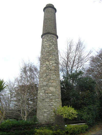 Ballycorus Shot Manufactorychimney · 345 yd
 Ballycorus castle Site ofCastle, tower house · 368 yd
 Ballycorus Lead Mines ChimneyRuins · 441 yd
 Barnaslingan - Scalp Lookout TrailWalking route · 530 yd
 Mining complex in BallycorusMining complex · 555 yd
 Barnaslingan - Pine loop trailWalking route · 560 yd
 Enclosure in PhrompstownEnclosure · 573 yd
 Barnaslingan HillMountain / peak · 845 yd
 Carrickgollogan HillMountain / peak · 1183 yd
 Bawn in RathmichaelBawn · 1383 yd
 Ballybetagh WoodForest · 1708 yd
 Dingle GlenNature reserve · 1.1 mi
Other information
Photo: Credit not shown in the picture search · Rights wording not checked; contact us if this picture should be removed