What is recorded here
Carrickgollogan Mountain still holds a hidden ringfort above the Loughlinstown river valley, though no earthwork remains for human eyes. That absence makes the fort a living phantom: a small circle of forgotten life, possibly with fields beside it, swallowed by time or myth. What the mountain keeps back from sight may still be doing its work, shaping the valley below.
The site is situated on the lower NW slopes of Carrickgollogan Mountain overlooking Loughlinstown river valley. The 1843 OS 6-inch map shows an enclosure (diam. c. 25m) with linear earthworks to the NW of it. A sketch plan in the OS Memoranda appears to depict a ringfort with associated field system (O'Flanagan, 1927, 39-40). It is not visible at ground level.
Compiled by: Geraldine Stout and Padraig Clancy.
Revised upload on: 15 April 2018.
The monument record does not grant public access. Check the route and ask the landowner before entering private land.
- What survives
- Recorded monument
Places near here
 Field system in BallycorusField system · 3 yd
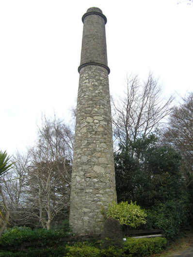 Ballycorus Shot Manufactorychimney · 342 yd
 Ballycorus castle Site ofCastle, tower house · 365 yd
 Ballycorus Lead Mines ChimneyRuins · 440 yd
 Barnaslingan - Scalp Lookout TrailWalking route · 532 yd
 Mining complex in BallycorusMining complex · 552 yd
 Barnaslingan - Pine loop trailWalking route · 563 yd
 Barnaslingan HillMountain / peak · 848 yd
 Carrickgollogan HillMountain / peak · 1186 yd
 Bawn in RathmichaelBawn · 1381 yd
 Ballybetagh WoodForest · 1707 yd
 Dingle GlenNature reserve · 1.1 mi