
What is recorded here
Excavations in 2001 revealed a medieval ditch complex. This appeared to represent the remains of medieval field boundaries with associated water management gullies. Some 1600 sherds of local medieval pottery were recovered and two sherds of imported ware (Doyle 2003, 135-136).
Compiled by: Geraldine Stout
Date of upload: 26 August 2011
The monument record does not grant public access. Check the route and ask the landowner before entering private land.
- What survives
- Recorded monument
Places near here
 Nangor castleCastle, unclassified · 219 yd
 Fulacht fia in NangorFulacht fia · 314 yd
 BarrowBarrow, ring-barrow · 541 yd
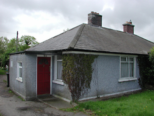 Sky Lawnhouse · 653 yd
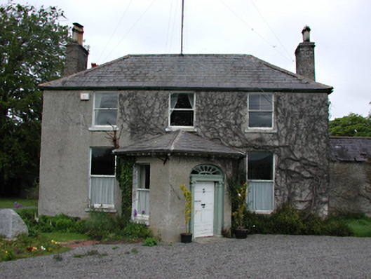 Kilcarberry Housecountry house · 663 yd
 CastleCastle, tower house · 903 yd
 Fairy WoodWood · 1748 yd
 Corkagh DemesneMemorial · 1.1 mi
 Early Stadium DesignHeritage attraction · 1.2 mi
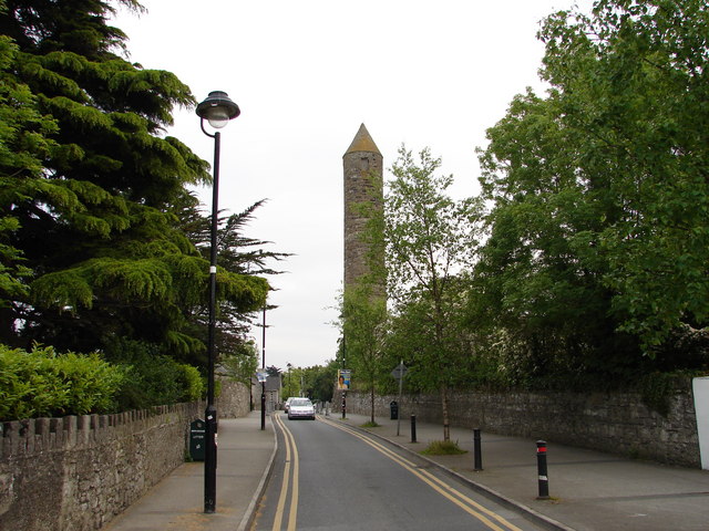 The Round TowerVisitor information · 1.6 mi
 Clondalkin Round TowerHeritage attraction · 1.6 mi
 Veronica Guerin memorialMemorial · 1.6 mi
Other information
Photo: Credit not shown in the picture search · Rights wording not checked; contact us if this picture should be removed