What is recorded here
Adamstown Castle stood between the canal and railway as a three-storey oblong tower with a projecting turret and stepped crenellations. It disappeared during the 1960s, leaving no visible trace on the flat ground. The castle may have watched water and iron traffic for generations before demolition erased its shadow.
Located on flat ground between the canal and the railway. A three-storey tower house, which was oblong in plan with a projecting turret and stepped crenellations. Demolished in the 1960s. Not visible at ground level. (McDix 1897, 12; Ball 1906, 58-60; Healy 1974, 22).
Compiled by: Geraldine Stout
Date of upload: 26 August 2011
The monument record does not grant public access. Check the route and ask the landowner before entering private land.
- What survives
- Recorded monument
Places near here
 bridgebridge · 154 yd
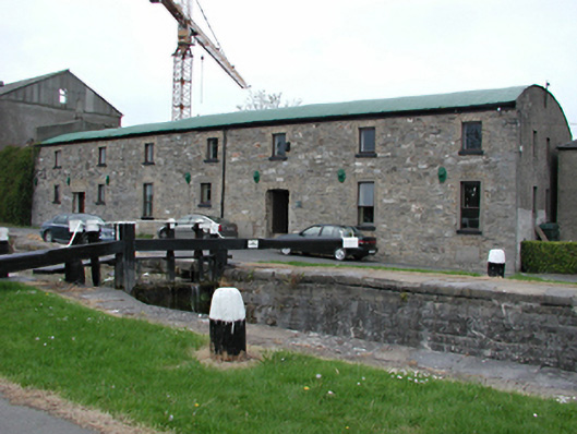 mill (water)mill (water) · 474 yd
 Enclosure in GollierstownEnclosure · 1035 yd
 Earthwork in GollierstownEarthwork · 1427 yd
 Griffeen Valley WalkWalking route · 1714 yd
 CastleCastle, unclassified · 1.1 mi
 Nangor castleCastle, unclassified · 1.4 mi
 Sli Na Sláinte Leixlip Lucan DesmenseWalking route · 1.9 mi
 Lucan DemenseHeritage attraction · 2.0 mi
 Fairy WoodWood · 2.3 mi
 Corkagh DemesneMemorial · 2.3 mi
 Early Stadium DesignHeritage attraction · 2.4 mi