
What is recorded here
Aderrig Castle stood south of the Lucan boundary as a tower house belonging to St Patrick's cathedral, recorded in 1546 and still drawn on seventeenth-century surveys. Its exact spot has vanished, but the writings preserve a bold stone marker watching over farmland and cabans. Perhaps it guarded a crowded threshold between parishes, or perhaps it was simply a proud mansion for church officers. Either way, it resisted forgetting long after its walls disappeared.
The precise location of Aderrig Castle has not been identified, however the location of the castle is shown to the S of the parish boundary with Lucan. In 1546 an Inquisition of the estate of the collegiate and cathedral church of St Patrick's recorded that in; 'the town-lands of Adderge and Marshallrathe is one castle, or mansion' (Mason 1820, 95). The castle is depicted as a tower house type building on the 17th-century Down Survey map of Newcastle Barony where it is shown standing immediately S of the S boundary between the parishes of Aderrig and Lucan (Hib. Reg.). This castle is also depicted on the Down Survey map of Aderrig parish map (NLI, Ms. 714). The 1654-56 Civil Survey of Dublin recorded that the parish of Aderrig 'containes the forfeited Towne lands of Adery and part of Backstowne; there is at Adery [Aderrig] an Old Castle a good farme House and some Cabbans at Backstowne' (Simington 1945, 290).
NLI, Ms. 714 National Library of Ireland, The parish maps of the Down Survey for the County of Dublin by W. Petty (1657). Copied by Daniel O'Brien. A set of 42 maps with accompanying terriers, copied in 1786-7.
See attached Down Survey map of Newcastle barony showing Aderrig Castle
Compiled by: Caimin O'Brien
Date of upload: 31 May 2023
The monument record does not grant public access. Check the route and ask the landowner before entering private land.
- What survives
- Recorded monument
Places near here
 Enclosure in AderrigEnclosure · 448 yd
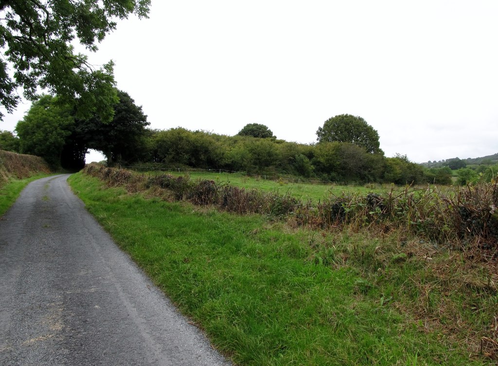 Earthwork in AderrigEarthwork · 662 yd
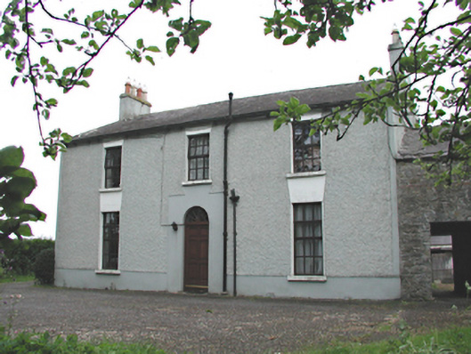 Aghderrig Farmfarm house · 687 yd
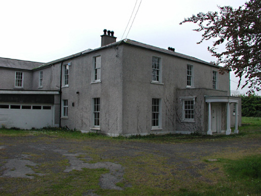 Airlie Househouse · 765 yd
 Sli Na Sláinte Leixlip Lucan DesmenseWalking route · 1.4 mi
 Lucan DemenseHeritage attraction · 1.5 mi
 Saint Wolstan'sHeritage attraction · 1.5 mi
 Batty Langley WoodsForest · 1.5 mi
 Leixlip MonumentMemorial · 1.6 mi
 Guinness' BreweryMemorial · 1.6 mi
 Griffeen Valley WalkWalking route · 1.7 mi
 Castle (site of)Castle, unclassified · 1.9 mi
Other information
Photo: Credit not shown · Copyright shown; no reuse licence shown