
What is recorded here
Geophysical survey (Licence no. 05R170) undertaken in advance of development S of the Rathbeale road identified the S limit of an enclosure (DU011-144001-) and a field system. Similar to the N field system (DU011-144003-) this field system (170m N-S x 145m E-W) consists of sub-rectangular enclosures and curvilinear features. Test excavation (Licence no. 08E0303) confirmed the presence of a series of ditches, pits and a small roundhouse or hut (3.75m diam.) with a sunken floor. A causeway was also identified related to the S annex. The overwhelming absence of medieval pottery is considered to indicate the date of occupation of the complex to the largely aceramic early medieval period (Frazer 2008, 61).
Compiled by: Christine Baker
Date of upload: 4 February 2015
The monument record does not grant public access. Check the route and ask the landowner before entering private land.
- What survives
- Recorded monument
Places near here
 Ecclesiastical enclosure in Oldtown (nethercross By.)Ecclesiastical enclosure · 174 yd
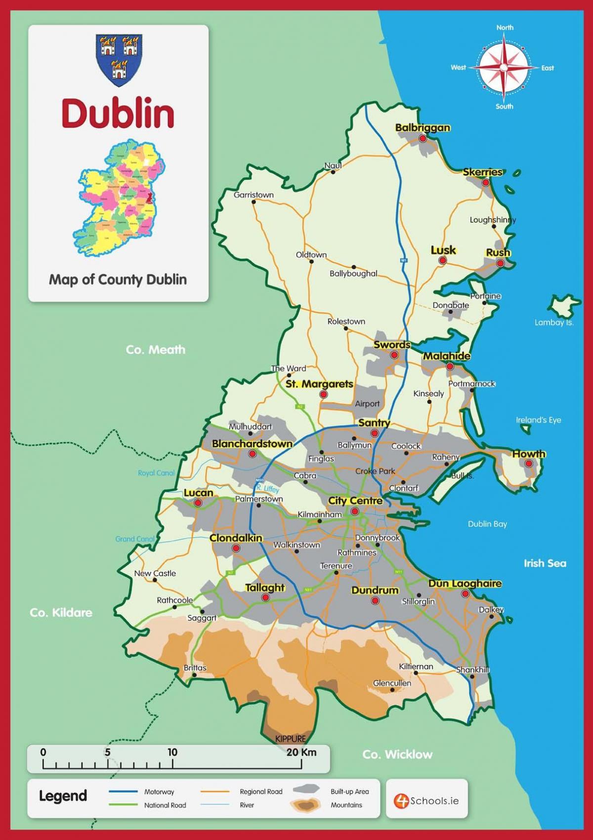 Field system in Oldtown (nethercross By.)Field system · 218 yd
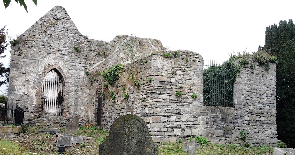
 OldtownRuins · 248 yd
 Water millWater mill, horizontal-wheeled · 403 yd
 St Cronans WellSpring · 672 yd
 CastleCastle, tower house · 983 yd
 The JackoWood · 1581 yd
 Kim Archibold MemorialMemorial · 1671 yd
 Swords Round TowerHeritage attraction · 1.2 mi
 Fingal Tourism OfficeVisitor information · 1.2 mi
 Tower (in ruins), Castle and ChapelCastle, Anglo-Norman masonry castle · 1.2 mi
 St Colmcilles WellVisitor information · 1.3 mi
Other information
Photo: Credit not shown in the picture search · Rights wording not checked; contact us if this picture should be removed