
What is recorded here
Identified by test-excavation (Licence no. 08E0303) the monument consists of a medieval watermill with a horizontal millwheel, associated millrace and various other channels used for water management. The remains consist of the foundations of a sub-square mill building (2.1m) with a funnel-shaped flume channel opening into its N side and a tail race exiting from the S. A possible millpond was located immediately upslope to the N. To the W of the mill a 2.2m wide, shallow, V-shaped water channel metalled with stone was uncovered. Between this channel and the mill, 2m from it, were two N–S drystone wall foundations running parallel to the building: their function is unknown but they appear to relate to the strengthening of the V-shaped channel. Other features discovered included two metalled floor surfaces. Medieval pottery suggests that the mill may have continued in use beyond the 12th century AD to perhaps some time during the 14th – 16th century (Frazer 2008, 37).
Compiled by: Christine Baker
Date of upload: 4 February 2015
The monument record does not grant public access. Check the route and ask the landowner before entering private land.
- What survives
- Recorded monument
Places near here
 Field system in Mooretown (nethercross By.)Field system · 403 yd
 Field system in Oldtown (nethercross By.)Field system · 481 yd
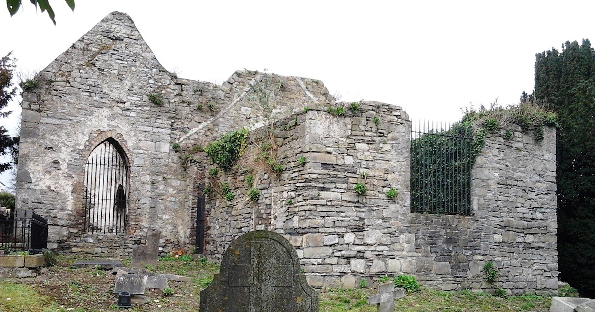
 OldtownRuins · 533 yd
 St Cronans WellSpring · 810 yd
 CastleCastle, tower house · 1040 yd
 The Old MillRuins · 1408 yd
 The JackoWood · 1715 yd
 Kim Archibold MemorialMemorial · 1.0 mi
 Swords Round TowerHeritage attraction · 1.4 mi
 Fingal Tourism OfficeVisitor information · 1.4 mi
 Tower (in ruins), Castle and ChapelCastle, Anglo-Norman masonry castle · 1.4 mi
 St Colmcilles WellVisitor information · 1.5 mi
Other information
Photo: Credit not shown in the picture search · Rights wording not checked; contact us if this picture should be removed