
What is recorded here
Geophysical survey (Licence no. 03R095) identified a large enclosure and field system (DU011-144003-) truncated by the Rathbeale road. The majority of the monument is located to the N of the road on high ground with extensive views over the surrounding countryside. Encompassing three concentric enclosures the large outer enclosure (c. 200m diam.) has an entranceway to the N. An inner enclosure (c. 130m diam.) enclosed a smaller enclosure (c. 70m diam.) containing burials (DU011-144002-). Test-excavation (Licence no. 03E1080) recovered a perforated stone bead, fragment of a decorated bone comb and an iron blade indicating an early medieval date (Baker 2010). Geophysical survey (Licence no. 04R023) and test-excavation (Licence no. 04E0543) in the field immediately to the east which is within the townland of Mooretown indicated the enclosure continued here. The inner enclosure ditch (3m in width) contained animal bone and a sherd of possible Man-made underground passage ware. Further geophysical survey (Licence no. 05R170) defined the southern limit of the enclosure south of the road, also within the townland of Mooretown. The monument is preserved in situ and is scheduled via the Oldtown LAP for inclusion in an archaeological park.
Compiled by: Christine Baker
Date of upload: 4 February 2015
The monument record does not grant public access. Check the route and ask the landowner before entering private land.
- What survives
- Recorded monument
Places near here
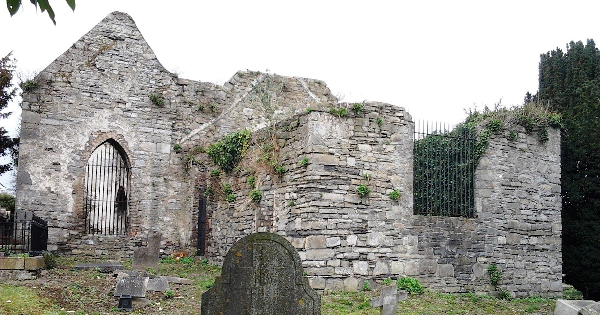
 OldtownRuins · 92 yd
 Field system in Oldtown (nethercross By.)Field system · 97 yd
 Field system in Mooretown (nethercross By.)Field system · 174 yd
 Water millWater mill, horizontal-wheeled · 518 yd
 St Cronans WellSpring · 818 yd
 CastleCastle, tower house · 848 yd
 The JackoWood · 1708 yd
 Kim Archibold MemorialMemorial · 1.0 mi
 Swords Round TowerHeritage attraction · 1.2 mi
 Fingal Tourism OfficeVisitor information · 1.2 mi
 Tower (in ruins), Castle and ChapelCastle, Anglo-Norman masonry castle · 1.2 mi
 St Colmcilles WellVisitor information · 1.4 mi
Other information
Photo: Credit not shown in the picture search · Rights wording not checked; contact us if this picture should be removed