
What is recorded here
From the National Monuments Service (Archaeological Survey of Ireland) record KD013-018002
Places near here
Photo credits
- Maker not stated on source page, monumentalireland.ie
- Maker not stated on source page, www.pinterest.ca
- Maker not stated on source page, en.wikipedia.org
- Maker not stated on source page, www.irishexaminer.com
- National Inventory of Architectural Heritage
- Alex Passmore, Geograph · CC BY-SA 2.0
- Kmcnamee, Wikimedia Commons · CC BY-SA 4.0
- Caragh Gaelic Football Club website; individual photographer not named, www.caraghgfc.com
- George Cruikshank, Wikimedia Commons · Public domain
- Maker not stated on source page, commons.wikimedia.org
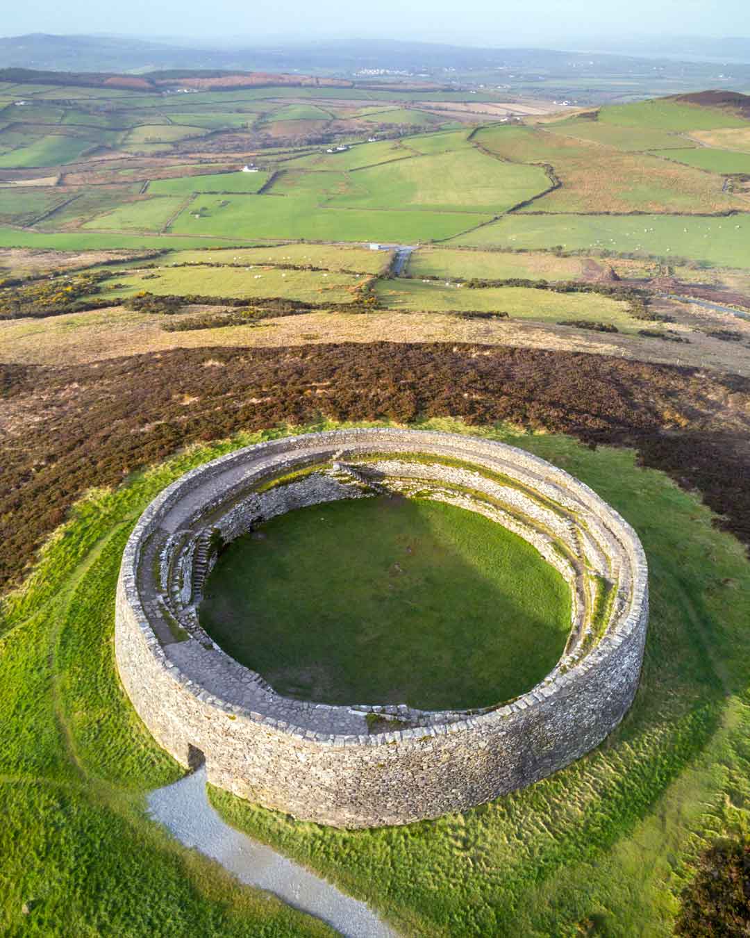 Fairy fort / earthen ringfort in MoodsFairy fort / earthen ringfort · 62 yd
Explorer Tom Fairy fort / earthen ringfort in Moods is deeply suspicious of the postman because he once dropped a letter right on…
 Cross-inscribed stone in Downings NorthCross-inscribed stone · 1498 yd
Explorer Tom Cross-inscribed stone in Downings North has a cross that looks like it’s in a circle. It’s hiding a message if you…
 Earthwork in Downings NorthEarthwork · 1517 yd
Explorer Tom Earthwork in Downings North is named after little forts that might not even exist anymore. Locals swear if you step on…
 Fairy fort / earthen ringfort in Mylerstown (robertstown Ed)Fairy fort / earthen ringfort · 1676 yd
Explorer Tom Fairy fort / earthen ringfort in Mylerstown is definitely going to win best in show at the county fair this year. It…
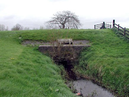 aqueduct1.1 mi
Explorer Tom Aqueduct in Robertstown East is technically under the supervision of a very serious dog named Buster who barks at…
 Grand Canal WayVisitor information · 1.2 mi
Explorer Tom Grand Canal Way is full of secrets that only come out after three pints, like which bridge was built by a love-struck…
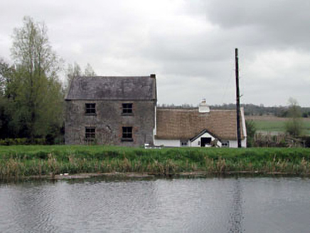 Historic building in Robertstown EastUnknown · 1.2 mi
Explorer Tom Historic building in Robertstown East is playing hard to get. It’s on the Grand Canal bank and looks like a school that…
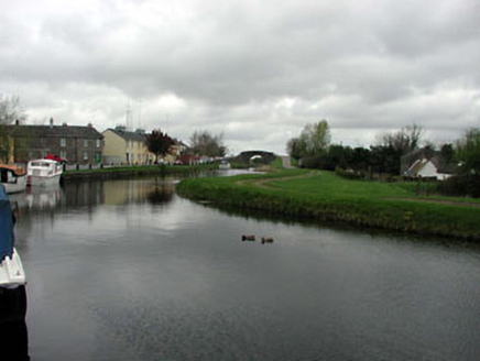 canal (section of)1.2 mi
Explorer Tom Canal in Robertstown would give its visitors two stars out of five for not falling into the water yet. It built itself…
 Robertstown GAA pitchGAA ground · 1.2 mi
 St. Farnan's Park, CaraghGAA ground · 1.2 mi
 Battle of ProsperousMajor battlefield · 1.6 mi
Explorer Tom Battle of Prosperous in County Kildare is haunted by a prophecy about tea that never came true. The ghosts are still…
 Graveyard in KilmeageGraveyard · 2.8 mi
Explorer Tom Graveyard in Kilmeage hosted a dance that went on so long the dancers forgot how to stand up properly. It’s just a…
More archaeology and monuments in County Kildare · All of County Kildare

What do you know about this place?Tap to add a comment or ask a question