What is recorded here
Excavated (E3471) during 2005 by H. Schweitzer as a part of Site 6 at Moneycross Upper, which was one of the excavations undertaken in advance of the construction of the N11 Arklow-Gorey link-road. Situated in a low-lying landscape on a slight S-facing slope. A subrectangular enclosure (max. dims c. 17m E-W; c. 17m N-S) that is open to the E is defined by a gully (Wth c. 0.8m; D c. 0.25m) that produced sherds of medieval pottery. N and S of this enclosure similar E-W gullies converge towards the medieval house (WX011-054001-) at E but a N-S gully c. 10m W of the house separates the house from the fields. A charred oat grain from a secondary fill produced a calibrated C14 date of AD 1405-55 (Eogan and Kelly 2016, 221). (Schweitzer 2008; 2009)
Compiled by: Michael Moore
Date of revised upload: 1 February, 2017
Excavated (E3471) during 2005 by H. Schweitzer as a part of Site 6 at Moneycross Upper, which was one of the excavations undertaken in advance of the construction of the N11 Arklow-Gorey link-road. Situated in a low-lying landscape on a slight S-facing slope. A subrectangular enclosure (max. dims c. 17m E-W; c. 17m N-S) that is open to the E is defined by a gully (Wth c. 0.8m; D c. 0.25m) that produced sherds of…
From the National Monuments Service (Archaeological Survey of Ireland) record WX011-054002
The monument record does not grant public access. Check the route and ask the landowner before entering private land.
- What survives
- Recorded monument
Places near here
Photo credits
- National Inventory of Architectural Heritage
- Ryanforsyth9, Wikimedia Commons · CC BY-SA 4.0
- Smirkybec, Wikimedia Commons · CC BY-SA 4.0
- Goreymurphy, Wikimedia Commons · CC BY-SA 4.0
- Willow, Wikimedia Commons · CC BY 2.5
- Jean-Pol GRANDMONT, Wikimedia Commons · CC BY 3.0
- George Cruikshank, Wikimedia Commons · Public domain
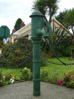 water pump487 yd
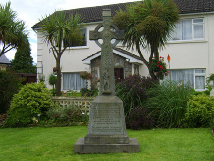 monument492 yd
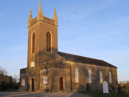 Saint Luke's Church (Liskinfere)Church/chapel · 607 yd
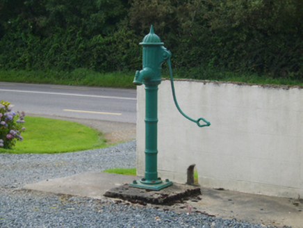 water pump766 yd
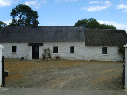 farm house1337 yd
 1798 MonumentMemorial · 2.6 mi
 Market HouseHeritage attraction · 3.0 mi
 Saint Brigid's WellSpring · 5.6 mi
 Brides WellHoly well · 5.6 mi
 European ash11 mi
 Cork oak12 mi
_p184_Defeat_at_Vinegar_Hill_(cropped).jpg/250px-MAXWELL(1845)_p184_Defeat_at_Vinegar_Hill_(cropped).jpg "Photo: George Cruikshank, Wikimedia Commons · Public domain") Battle of Vinegar HillMajor battlefield · 14 mi
Battle of Vinegar HillMajor battlefield · 14 miMore archaeology and monuments in County Wexford · All of County Wexford
What do you know about this place?